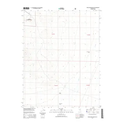
2014 Map of Stone Cabin Ranch SW
USGS Topo · Published 2014About this map
Toiyabe National Forest dominates the northwestern corner of this landscape, where the terrain begins to rise sharply out of the arid basins of Nye County. This 2014 survey captures a section of the high desert characterized by the transition from the Ralston Desert into the expansive Stone Cabin Valley. The mapping of ephemeral water sources like Willow Cr and the isolated Coyote Hole Spring provides essential data for understanding the hydrology of this remote region. Transportation in the area is sparse, primarily defined by the Natl Forest Develop Road 166 Rd, which skirts the mountainous northern boundary. The grid of the Public Land Survey System, including t3n r47e, overlays a landscape where survival depends on these few named water points and the seasonal drainage patterns etched into the valley floor.
Find a feature on this map
10 named features on this map. Tap any name to fly to it.
Don’t see what you’re looking for? This feature index may not catch every label — zoom into the map to look around manually.
Map Details
Editions of this 2014 Stone Cabin Ranch SW Map
This is the sole edition of this map. No revisions or reprints were ever made.
Other maps of this area

1908 · Kawich
USGS Topo · 1:250,000

1942 · Cactus Range
USGS Topo · 1:125,000

1952 · Stinking Spring
USGS Topo · 1:62,500

1952 · Cactus Peak
USGS Topo · 1:62,500

1954 · Goldfield
USGS Topo · 1:250,000

1955 · Goldfield
USGS Topo · 1:250,000

1956 · Tonopah
USGS Topo · 1:250,000

1958 · Goldfield
USGS Topo · 1:250,000

1959 · Tonopah
USGS Topo · 1:250,000

1962 · Goldfield
USGS Topo · 1:250,000