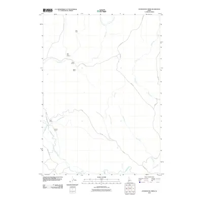
2010 Map of Stonehouse Creek
USGS Topo · Published 2010About this map
Pleasant Valley Cemetery serves as a lone cultural landmark in this high-desert landscape of Owyhee County, situated along Stonehouse Creek. The terrain is defined by deep incisions and drainage basins, most notably the towering Split Rock and the associated Split Rock Canyon to the north. A network of unpaved corridors including Flint Rd and Cow Creek Rd navigate the complex topography, connecting remote basins like Noble Basin with various watercourses. The hydrology is dominated by the winding path of Jordan Creek in the south, which draws from tributaries like Lone Tree Creek and Duck Creek. This region, documented in the early 21st century, reflects a landscape utilized primarily for ranching and transit through the high Owyhee plateau, with names like Connors Canyon and Wood Canyon hinting at early settlement and resource use.
Find a feature on this map
23 named features on this map. Tap any name to fly to it.
Don’t see what you’re looking for? This feature index may not catch every label — zoom into the map to look around manually.
Map Details
Editions of this 2010 Stonehouse Creek Map
This is the sole edition of this map. No revisions or reprints were ever made.
Other maps of this area

1892 · Silver City
USGS Topo · 1:125,000

1894 · Silver City
USGS Topo · 1:125,000

1898 · Silver City
USGS Topo · 1:125,000

1955 · Jordan Valley
USGS Topo · 1:250,000

1955 · Boise
USGS Topo · 1:250,000

1957 · Jordan Valley
USGS Topo · 1:250,000

1958 · Boise
USGS Topo · 1:250,000

1958 · Jordan Valley
USGS Topo · 1:250,000

1962 · Boise
USGS Topo · 1:250,000

1965 · Rooster Comb Peak
USGS Topo · 1:62,500