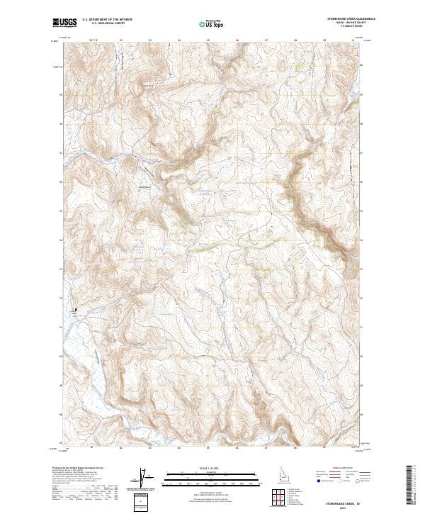
2023 Map of Stonehouse Creek
USGS Topo · Published 2023About this map
Pleasant Valley and its surrounding high-desert terrain define this modern survey of Owyhee County, Idaho. The landscape is a network of ridges and drainages, most notably Long Ridge and the Split Rock Canyon area, where cattle ranching and seasonal grazing have long shaped the land. The presence of the Pleasant Valley Cem provides a focal point for genealogical research in this isolated ranching community, while named water sources like Big Springs and Cottonwood Trail Pond illustrate the vital importance of water management in the arid West.
Find a feature on this map
44 named features on this map. Tap any name to fly to it.
Don’t see what you’re looking for? This feature index may not catch every label — zoom into the map to look around manually.
Map Details
Editions of this 2023 Stonehouse Creek Map
This is the sole edition of this map. No revisions or reprints were ever made.
Other maps of this area

1892 · Silver City
USGS Topo · 1:125,000

1894 · Silver City
USGS Topo · 1:125,000

1898 · Silver City
USGS Topo · 1:125,000

1955 · Jordan Valley
USGS Topo · 1:250,000

1955 · Boise
USGS Topo · 1:250,000

1957 · Jordan Valley
USGS Topo · 1:250,000

1958 · Boise
USGS Topo · 1:250,000

1958 · Jordan Valley
USGS Topo · 1:250,000

1962 · Boise
USGS Topo · 1:250,000

1965 · Rooster Comb Peak
USGS Topo · 1:62,500