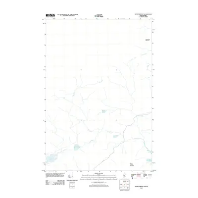
2011 Map of Stony Brook
USGS Topo · Published 2011About this map
Stony Brook and Wood Stream dominate this drainage basin in Somerset County, where the landscape is defined by a dense network of water bodies and high peaks. The topography rises toward Slidedown Mountain in the northeast and Burnt Jacket Mountain in the south, while the valleys between are filled with significant water features like Little Turner Pond, Smith Pond, and the edge of Little Big Wood Pond. The mapping suggests a primarily wooded interior with limited infrastructure, save for the presence of Holeb Rd crossing the southern portion. This 2011 survey captures the area's hydrology at a time when traditional Maine timberlands remained largely undeveloped, preserving the original configuration of remote ponds like Beaver Pond and Turner Pond before modern encroachment.
Find a feature on this map
11 named features on this map. Tap any name to fly to it.
Don’t see what you’re looking for? This feature index may not catch every label — zoom into the map to look around manually.
Map Details
Editions of this 2011 Stony Brook Map
This is the sole edition of this map. No revisions or reprints were ever made.
Other maps of this area

1923 · Attean
USGS Topo · 1:62,500

1925 · Attean
USGS Topo · 1:62,500

1927 · Sandy Bay
USGS Topo · 1:48,000

1928 · Skinner
USGS Topo · 1:48,000

1930 · Sandy Bay
USGS Topo · 1:62,500

1931 · Skinner
USGS Topo · 1:62,500

1944 · Sandy Bay
USGS Topo · 1:62,500

1949 · Jackman
USGS Topo · 1:250,000

1950 · Attean
USGS Topo · 1:50,000

1963 · Jackman
USGS Topo · 1:250,000