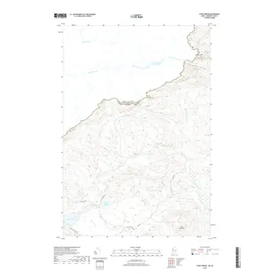
2018 Map of Stony Brook
USGS Topo · Published 2018About this map
Canada United States Of America international boundaries divide the high wilderness of Somerset County in this modern topographic survey. The landscape is defined by significant elevations such as Slidedown Mtn and Burnt Jacket Mtn, with Slidedown Valley carving through the northern terrain. A complex network of waterways, including the Rivière du Loup and Rivière Noire, flows across the border, illustrating the interconnected geography of the North Country.
Find a feature on this map
20 named features on this map. Tap any name to fly to it.
Don’t see what you’re looking for? This feature index may not catch every label — zoom into the map to look around manually.
Map Details
Editions of this 2018 Stony Brook Map
This is the sole edition of this map. No revisions or reprints were ever made.
Other maps of this area

1923 · Attean
USGS Topo · 1:62,500

1925 · Attean
USGS Topo · 1:62,500

1927 · Sandy Bay
USGS Topo · 1:48,000

1928 · Skinner
USGS Topo · 1:48,000

1930 · Sandy Bay
USGS Topo · 1:62,500

1931 · Skinner
USGS Topo · 1:62,500

1944 · Sandy Bay
USGS Topo · 1:62,500

1949 · Jackman
USGS Topo · 1:250,000

1950 · Attean
USGS Topo · 1:50,000

1963 · Jackman
USGS Topo · 1:250,000