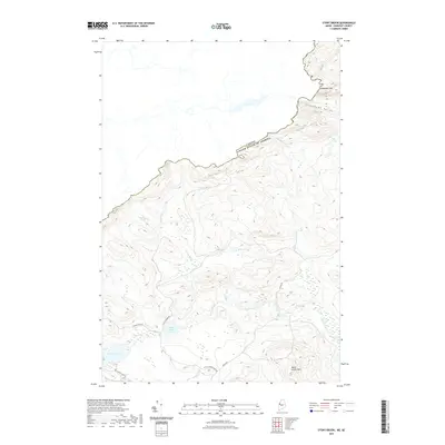
2021 Map of Stony Brook
USGS Topo · Published 2021About this map
The Canada-United States border creates a prominent boundary across this terrain, following a height-of-land that separates Maine from Quebec. The landscape is defined by its dramatic relief, featuring Slidedown Mtn and the adjacent Slidedown Valley in the northern reaches, while Burnt Jacket Mtn anchors the southeastern corner. A network of primitive roads, including Holeb Rd and Turner Pond Rd, provides access to numerous remote water bodies such as Beaver Pond, Smith Pond, and the interconnected Little Turner Pond and Turner Pond. These waters feed various drainage systems like Stony Brook and Wood Stream, illustrating the intricate hydrology of the Somerset County wilderness. The map reveals a region primarily utilized for timber and recreation, where the absence of established settlements highlights its role as a resource-heavy borderland.
Find a feature on this map
17 named features on this map. Tap any name to fly to it.
Don’t see what you’re looking for? This feature index may not catch every label — zoom into the map to look around manually.
Map Details
Editions of this 2021 Stony Brook Map
This is the sole edition of this map. No revisions or reprints were ever made.
Other maps of this area

1923 · Attean
USGS Topo · 1:62,500

1925 · Attean
USGS Topo · 1:62,500

1927 · Sandy Bay
USGS Topo · 1:48,000

1928 · Skinner
USGS Topo · 1:48,000

1930 · Sandy Bay
USGS Topo · 1:62,500

1931 · Skinner
USGS Topo · 1:62,500

1944 · Sandy Bay
USGS Topo · 1:62,500

1949 · Jackman
USGS Topo · 1:250,000

1950 · Attean
USGS Topo · 1:50,000

1963 · Jackman
USGS Topo · 1:250,000