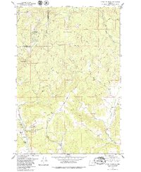
1979 Map of Stony Mountain
USGS Topo · Published 1979About this map
Tillamook State Forest covers the northwestern corner of this territory, where the boundary between Tillamook and Yamhill counties cuts through the timbered heights of Stony Mountain and Green Top. The landscape is defined by its drainage network, with the steep headwaters of Baltimore Creek, La Toutena Mary Creek, and East Creek flowing south toward the Willamina Creek valley. A distinct shift from timber to agricultural land occurs in the southeast, particularly along the fertile banks of Gopher Valley Creek.
Find a feature on this map
34 named features on this map. Tap any name to fly to it.
Don’t see what you’re looking for? This feature index may not catch every label — zoom into the map to look around manually.
Map Details
Editions of this 1979 Stony Mountain Map
2 editions found
Other maps of this area

1942 · Ginger Peak
USGS Topo · 1:62,500

1942 · Sheridan
USGS Topo · 1:62,500

1942 · Spirit Mtn
USGS Topo · 1:62,500

1942 · Fairdale
USGS Topo · 1:62,500

1948 · Vancouver
USGS Topo · 1:250,000

1950 · Vancouver
USGS Topo · 1:250,000

1950 · Vancouver
USGS Topo · 1:250,000

1955 · Blaine
USGS Topo · 1:62,500

1955 · Fairdale
USGS Topo · 1:62,500

1955 · Grand Ronde
USGS Topo · 1:62,500