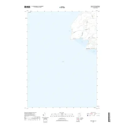
2019 Map of Stony Point
USGS Topo · Published 2019About this map
Lake Ontario borders the rocky protrusion of Stony Point, where the shoreline of Ellisburg meets the open water. This 2019 survey captures the interface of land and lake, characterized by prominent landforms like Clark Point and the isolated Calf Island to the northwest. The settlement of Stony Point is supported by a network of local roads including Lighthouse Rd and Military Rd, reflecting the area's long history as a coastal waypoint and a defensive or navigational position.
Find a feature on this map
18 named features on this map. Tap any name to fly to it.
Don’t see what you’re looking for? This feature index may not catch every label — zoom into the map to look around manually.
Map Details
Editions of this 2019 Stony Point Map
This is the sole edition of this map. No revisions or reprints were ever made.
Other maps of this area

1893 · Sackets Harbor
USGS Topo · 1:62,500

1895 · Sacketts Harbor
USGS Topo · 1:62,500

1895 · Stony Island
USGS Topo · 1:62,500

1895 · Pulaski
USGS Topo · 1:62,500

1942 · Stony Point
USGS Topo · 1:31,680

1942 · Henderson Bay
USGS Topo · 1:31,680

1942 · Galloo Island
USGS Topo · 1:31,680

1942 · Point Peninsula
USGS Topo · 1:31,680

1943 · Henderson
USGS Topo · 1:31,680
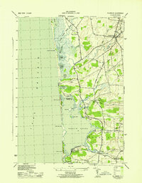
1943 · Ellisburg
USGS Topo · 1:31,680