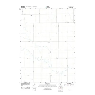
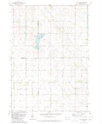
2012 Map of Storla
USGS Topo · Published 2012About this map
Storla anchors the northern portion of this South Dakota landscape, serving as a focal point for the surrounding rural roads and agricultural grid. The terrain is defined by the winding course of Firesteel Cr and its tributary, the W Br Firesteel Cr, which cut through the township in a series of serpentine bends. These waterways provided essential drainage and a natural break in the otherwise orderly section lines of the Aurora County plains. Genealogy and local history are preserved in the locations of several community landmarks, including Victor Lutheran Cem, Emmanuel Lutheran Cem, and the southern Knutson Cem. The map reveals a highly structured transportation network where avenues like 392nd Ave and streets such as 250th St maintain the precise geometry typical of the American Midwest's township and range system.
Find a feature on this map
21 named features on this map. Tap any name to fly to it.
Don’t see what you’re looking for? This feature index may not catch every label — zoom into the map to look around manually.
Map Details
Editions of this 2012 Storla Map
This is the sole edition of this map. No revisions or reprints were ever made.
Other maps of this area

1899 · Mitchell
USGS Topo · 1:125,000

1955 · Mitchell
USGS Topo · 1:250,000

1959 · Mitchell
USGS Topo · 1:250,000
1979 · Fraser Dam
USGS Topo · 1:24,000
1979 · Letcher
USGS Topo · 1:24,000
1979 · Letcher SW
USGS Topo · 1:24,000

1979 · Storla SW
USGS Topo · 1:24,000

1979 · Storla
USGS Topo · 1:24,000
1979 · Twin Lakes
USGS Topo · 1:24,000

1980 · Mount Vernon
USGS Topo · 1:24,000