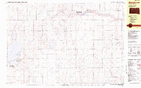
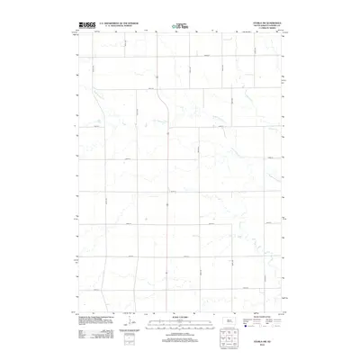
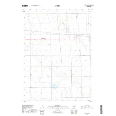
1979 Map of Storla SW
USGS Topo · Published 1980About this map
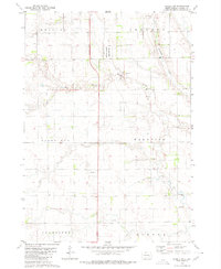
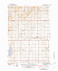
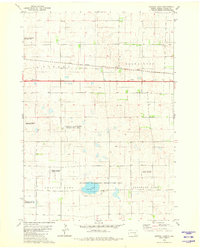
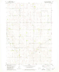
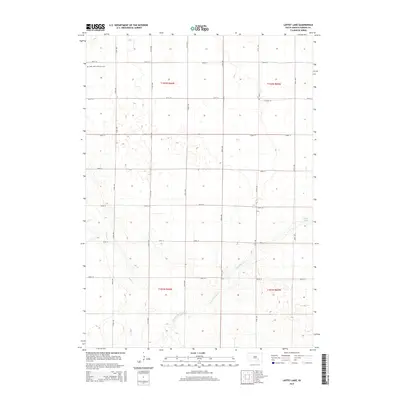
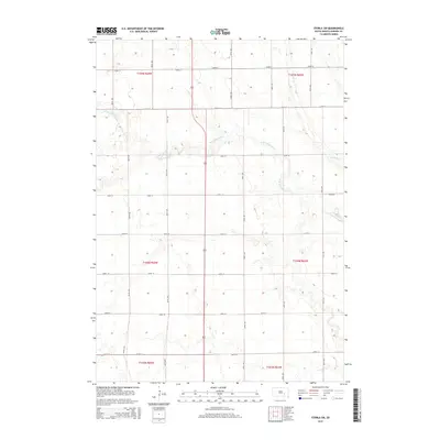
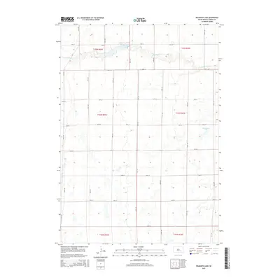
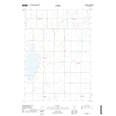
The winding waters of Firesteel Creek and its West Branch Firesteel Creek carve through the agricultural heart of Aurora County. This late-1970s survey captures a rural landscape defined by township boundaries such as Bristol, Belford, and Palatine, where the section-line road network is punctuated only by occasional infrastructure and resource sites. One notable social center is the Townhall located near the eastern edge, serving as a localized point of governance for the surrounding farmsteads.
Find a feature on this map
12 named features on this map. Tap any name to fly to it.
Don’t see what you’re looking for? This feature index may not catch every label — zoom into the map to look around manually.
Map Details
Editions of this 1979 Storla SW Map
This is the sole edition of this map. No revisions or reprints were ever made.
Historical Maps of Belford Township Through Time
25 maps found
1942 Crow Lake
Aurora County, SD
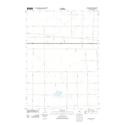
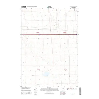
1979 Crystal Lake
Aurora County, SD
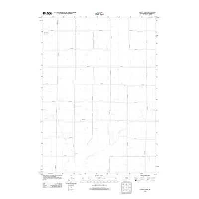
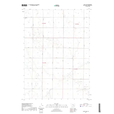
1979 Laffey Lake
Aurora County, SD
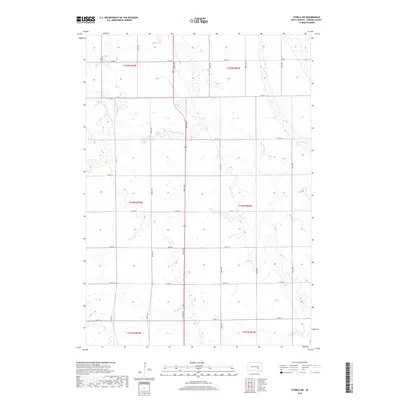
1979 Storla SW
Aurora County, SD
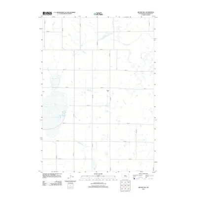
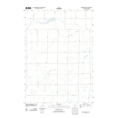
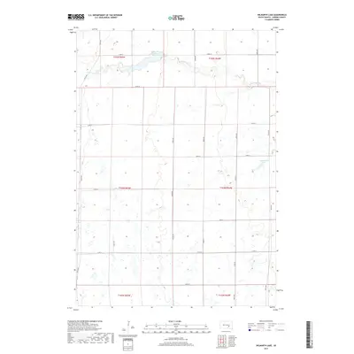
1982 Wilmarth Lake
Aurora County, SD
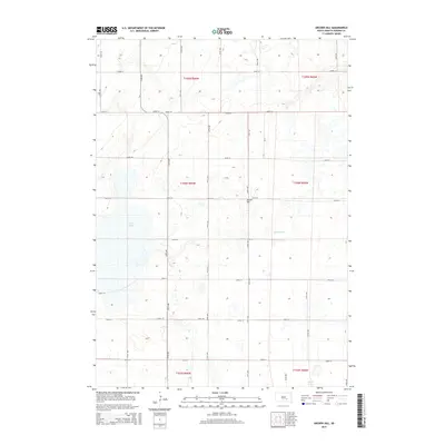
2012 Archer Hill
Aurora County, SD
2012 Crystal Lake
Aurora County, SD
2012 Laffey Lake
Aurora County, SD
2012 Storla SW
Aurora County, SD
2012 Wilmarth Lake
Aurora County, SD
2015 Archer Hill
Aurora County, SD
2015 Crystal Lake
Aurora County, SD
2015 Laffey Lake
Aurora County, SD
2015 Storla SW
Aurora County, SD
2015 Wilmarth Lake
Aurora County, SD
2017 Archer Hill
Aurora County, SD
2017 Crystal Lake
Aurora County, SD
2017 Laffey Lake
Aurora County, SD
2017 Storla SW
Aurora County, SD
2017 Wilmarth Lake
Aurora County, SD
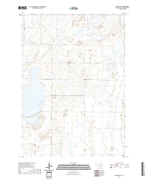
2021 Archer Hill
Aurora County, SD
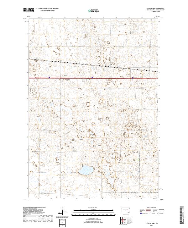
2021 Crystal Lake
Aurora County, SD
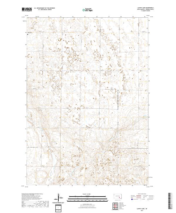
2021 Laffey Lake
Aurora County, SD
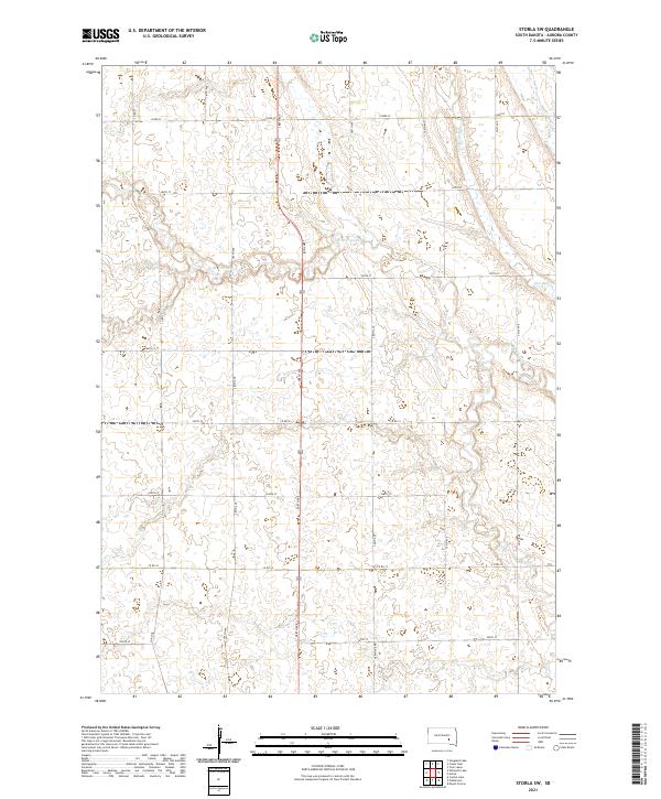
2021 Storla SW
Aurora County, SD
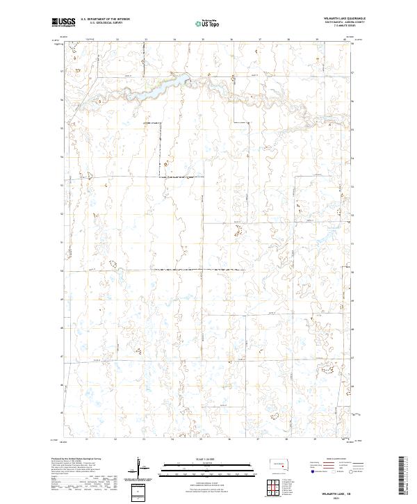
2021 Wilmarth Lake
Aurora County, SD
Featured Locations
- Belford Township, SD
- Bristol Township, SD
- Firesteel Township, SD
- Palatine Township, SD
- Plankinton Township, SD