1942 Map of Crow Lake
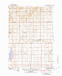
USGS Topo · Published 1982About this map
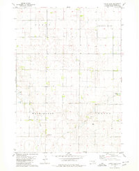
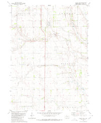
The agricultural plains of Aurora and Jerauld Counties are defined by a dense network of country schoolhouses and artesian wells in this early 1940s survey. Dozens of school districts, including Whittier Sch, Longfellow Sch, and Monitor Sch, emphasize the high density of rural families living on the land at this time. Water management is a primary focus of the landscape, seen through the numerous Artesian Wells and the Artesian Well near Archer Hill, essential for life in this part of South Dakota.
Find a feature on this map
53 named features on this map. Tap any name to fly to it.
Don’t see what you’re looking for? This feature index may not catch every label — zoom into the map to look around manually.
Map Details
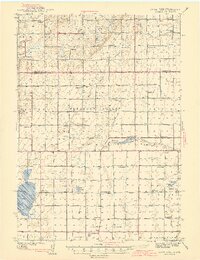
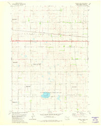
Editions of this 1942 Crow Lake Map
3 editions found
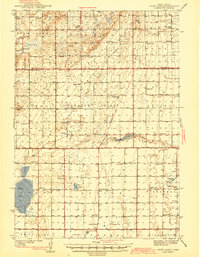
Historical Maps of Crow Lake Through Time
25 maps found
1942 Crow Lake
Aurora County, SD
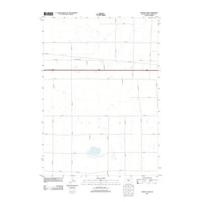
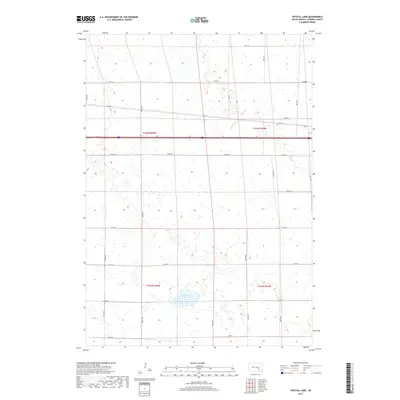
1979 Crystal Lake
Aurora County, SD
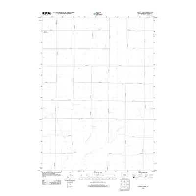
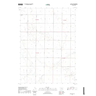
1979 Laffey Lake
Aurora County, SD
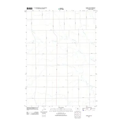
1979 Storla SW
Aurora County, SD
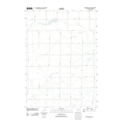
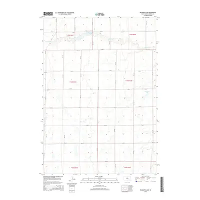
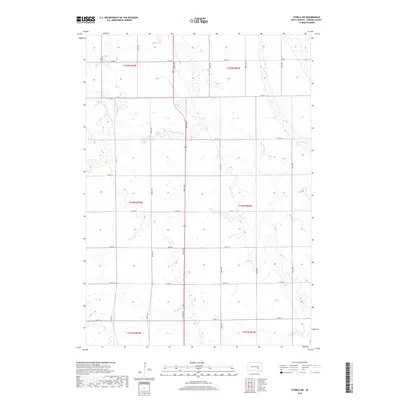
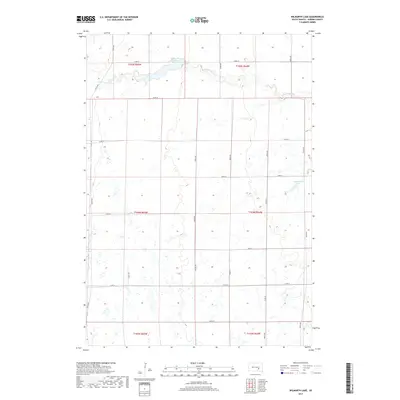
1982 Wilmarth Lake
Aurora County, SD
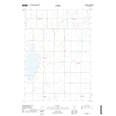
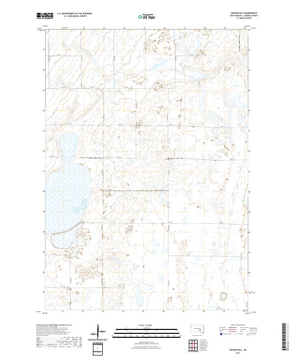
2012 Archer Hill
Aurora County, SD
2012 Crystal Lake
Aurora County, SD
2012 Laffey Lake
Aurora County, SD
2012 Storla SW
Aurora County, SD
2012 Wilmarth Lake
Aurora County, SD
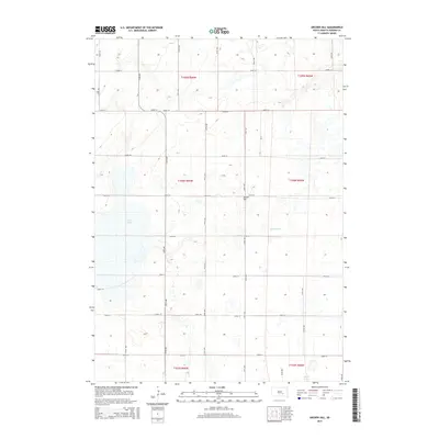
2015 Archer Hill
Aurora County, SD
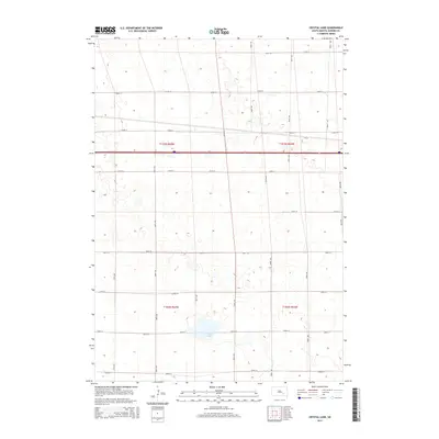
2015 Crystal Lake
Aurora County, SD
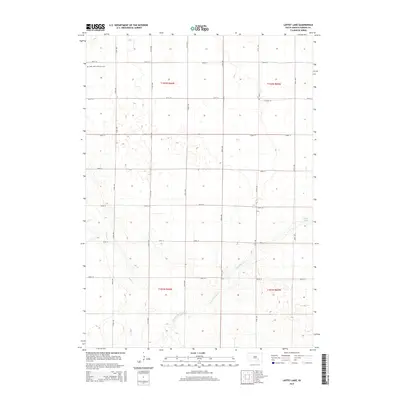
2015 Laffey Lake
Aurora County, SD
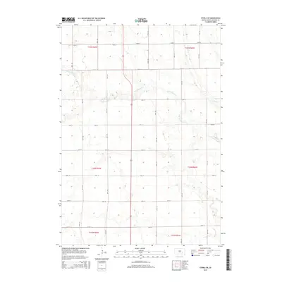
2015 Storla SW
Aurora County, SD
2015 Wilmarth Lake
Aurora County, SD
2017 Archer Hill
Aurora County, SD
2017 Crystal Lake
Aurora County, SD
2017 Laffey Lake
Aurora County, SD
2017 Storla SW
Aurora County, SD
2017 Wilmarth Lake
Aurora County, SD
2021 Archer Hill
Aurora County, SD
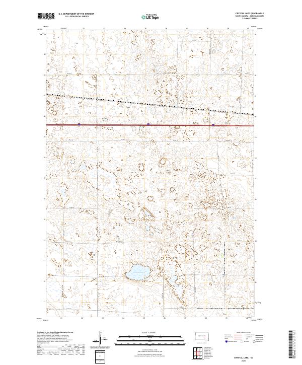
2021 Crystal Lake
Aurora County, SD
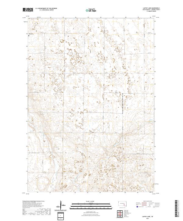
2021 Laffey Lake
Aurora County, SD
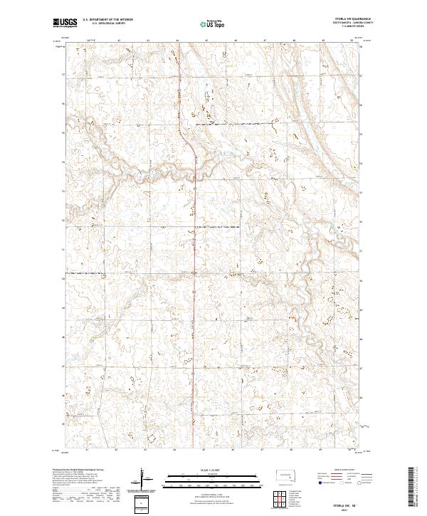
2021 Storla SW
Aurora County, SD
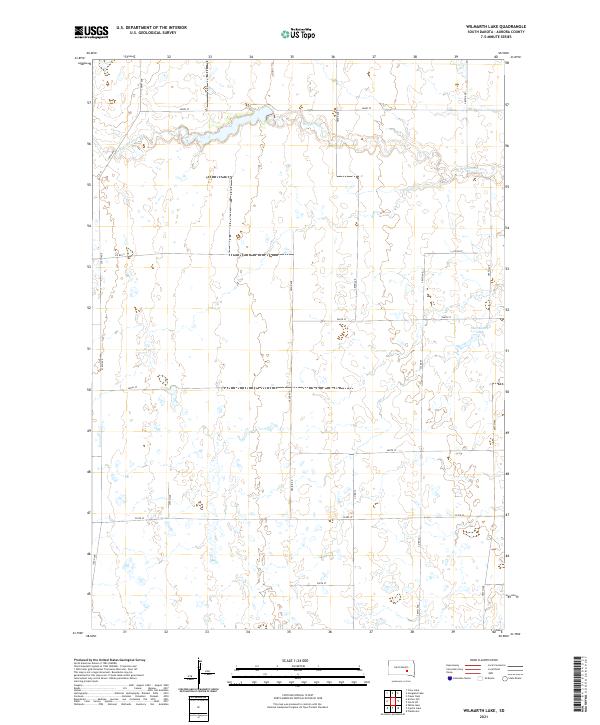
2021 Wilmarth Lake
Aurora County, SD
Featured Locations
- Anina Township, SD
- Eureka Township, SD
- White Lake Township, SD
- Pleasant Valley Township, SD
- Crow Lake, Crow Lake Township