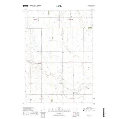
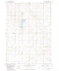
2017 Map of Storla
USGS Topo · Published 2017About this map
Storla marks the northern extent of this rural landscape, situated near the intersection of Sanborn and Aurora counties. The geography is defined by the winding course of Firesteel Creek and its tributary, the W Br Firesteel Cr, which carve through the plains. This 2017 survey reflects a deeply-rooted agricultural community, evidenced by the distribution of several local cemeteries including Trinity Cem, Victor Lutheran Cem, Emmanuel Lutheran Cem, and Knutson Cem. These landmarks, often tied to original homesteads and immigrant congregations, remain prominent fixtures along the township road grid of 243rd St and 250th St, providing a clear record of the settlement patterns and genealogy of Hopper Township and its neighbors.
Find a feature on this map
27 named features on this map. Tap any name to fly to it.
Don’t see what you’re looking for? This feature index may not catch every label — zoom into the map to look around manually.
Map Details
Editions of this 2017 Storla Map
This is the sole edition of this map. No revisions or reprints were ever made.
Other maps of this area

1899 · Mitchell
USGS Topo · 1:125,000

1955 · Mitchell
USGS Topo · 1:250,000

1959 · Mitchell
USGS Topo · 1:250,000
1979 · Fraser Dam
USGS Topo · 1:24,000
1979 · Letcher
USGS Topo · 1:24,000
1979 · Letcher SW
USGS Topo · 1:24,000

1979 · Storla SW
USGS Topo · 1:24,000

1979 · Storla
USGS Topo · 1:24,000
1979 · Twin Lakes
USGS Topo · 1:24,000

1980 · Mount Vernon
USGS Topo · 1:24,000