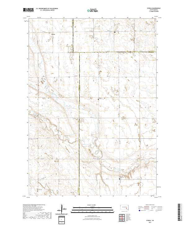
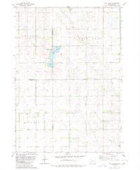
2021 Map of Storla
USGS Topo · Published 2021About this map
The settlement of Storla serves as a central landmark in this landscape defined by the intersection of Aurora, Sanborn, and Davison counties. The terrain is characterized by a network of sectional roads, including 243rd St and 394th Ave, which delineate the agricultural grid. This 2021 survey highlights several key cultural markers important for local genealogy, notably Trinity Cem in the north and Victor Lutheran Cem near the center. The drainage of the area is dominated by Firesteel Creek and its tributaries, such as the West Branch Firesteel Creek and W Br Firesteel Cr, which meander through the prairie. Further south, Emmanuel Lutheran Cem and Krutson Cem provide additional points of interest for researchers tracing family history within this rural South Dakota community.
Find a feature on this map
36 named features on this map. Tap any name to fly to it.
Don’t see what you’re looking for? This feature index may not catch every label — zoom into the map to look around manually.
Map Details
Editions of this 2021 Storla Map
This is the sole edition of this map. No revisions or reprints were ever made.
Other maps of this area

1899 · Mitchell
USGS Topo · 1:125,000

1955 · Mitchell
USGS Topo · 1:250,000

1959 · Mitchell
USGS Topo · 1:250,000
1979 · Fraser Dam
USGS Topo · 1:24,000
1979 · Letcher
USGS Topo · 1:24,000
1979 · Letcher SW
USGS Topo · 1:24,000

1979 · Storla SW
USGS Topo · 1:24,000

1979 · Storla
USGS Topo · 1:24,000
1979 · Twin Lakes
USGS Topo · 1:24,000

1980 · Mount Vernon
USGS Topo · 1:24,000