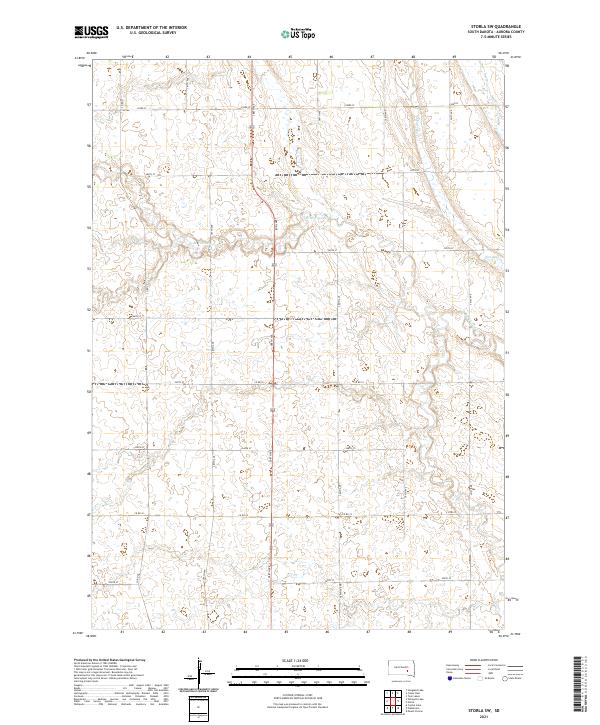
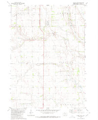
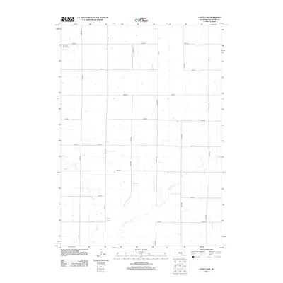
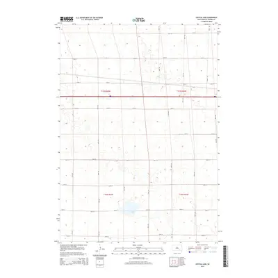
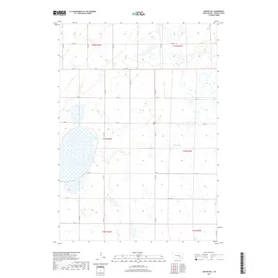
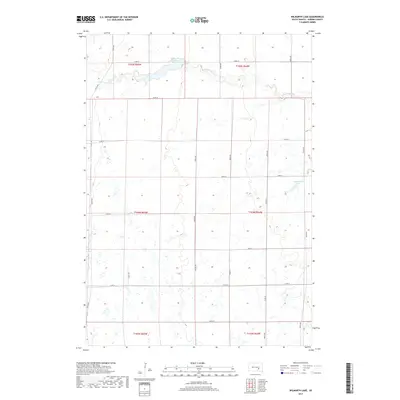
2021 Map of Storla SW
USGS Topo · Published 2021About this map
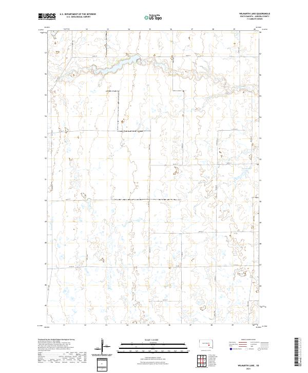
Firesteel Cr and its tributary, W Br Firesteel Cr, define the drainage patterns of this Aurora County landscape. The area is structured by a precise grid of rural section-line roads, such as 388th Ave and Co Rd 16, which facilitate movement between the agricultural parcels of townships like t104n r63w. The map depicts a contemporary rural environment where small watercourses meander through prairie land, providing a clear view of the modern land management and township divisions in South Dakota's heartland.
Find a feature on this map
23 named features on this map. Tap any name to fly to it.
Don’t see what you’re looking for? This feature index may not catch every label — zoom into the map to look around manually.
Map Details
Editions of this 2021 Storla SW Map
This is the sole edition of this map. No revisions or reprints were ever made.
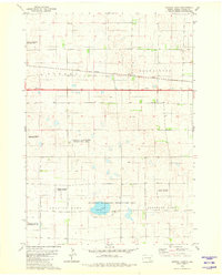
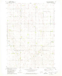
Historical Maps of Hopper Township Through Time
25 maps found
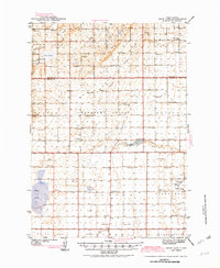
1942 Crow Lake
Aurora County, SD
1979 Crystal Lake
Aurora County, SD
1979 Laffey Lake
Aurora County, SD
1979 Storla SW
Aurora County, SD
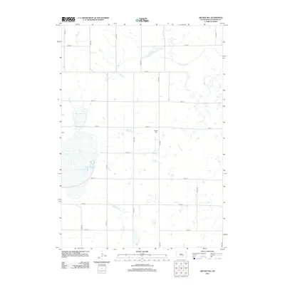
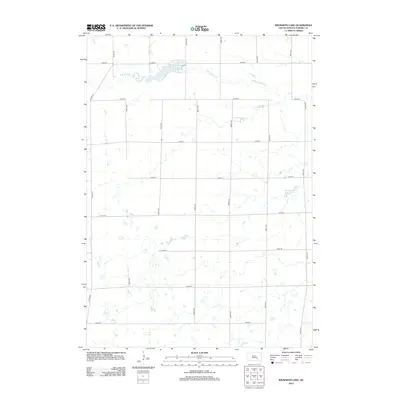
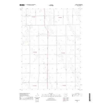
1982 Wilmarth Lake
Aurora County, SD
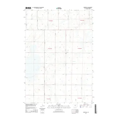
2012 Archer Hill
Aurora County, SD
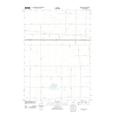
2012 Crystal Lake
Aurora County, SD
2012 Laffey Lake
Aurora County, SD
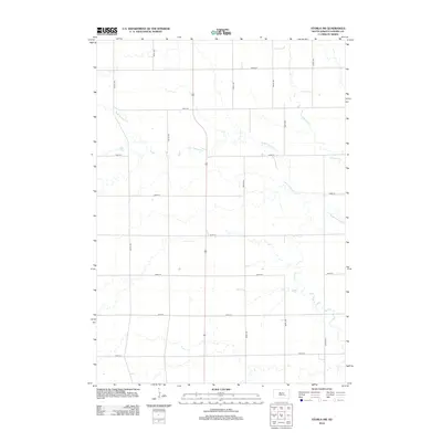
2012 Storla SW
Aurora County, SD
2012 Wilmarth Lake
Aurora County, SD
2015 Archer Hill
Aurora County, SD
2015 Crystal Lake
Aurora County, SD
2015 Laffey Lake
Aurora County, SD
2015 Storla SW
Aurora County, SD
2015 Wilmarth Lake
Aurora County, SD
2017 Archer Hill
Aurora County, SD
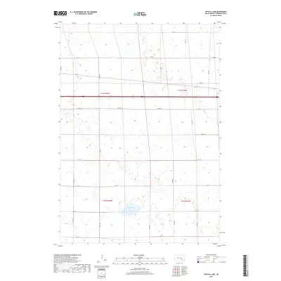
2017 Crystal Lake
Aurora County, SD
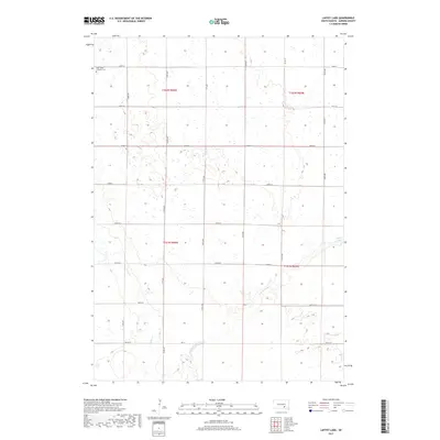
2017 Laffey Lake
Aurora County, SD
2017 Storla SW
Aurora County, SD
2017 Wilmarth Lake
Aurora County, SD
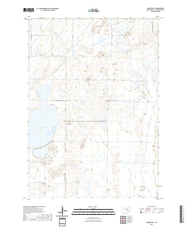
2021 Archer Hill
Aurora County, SD
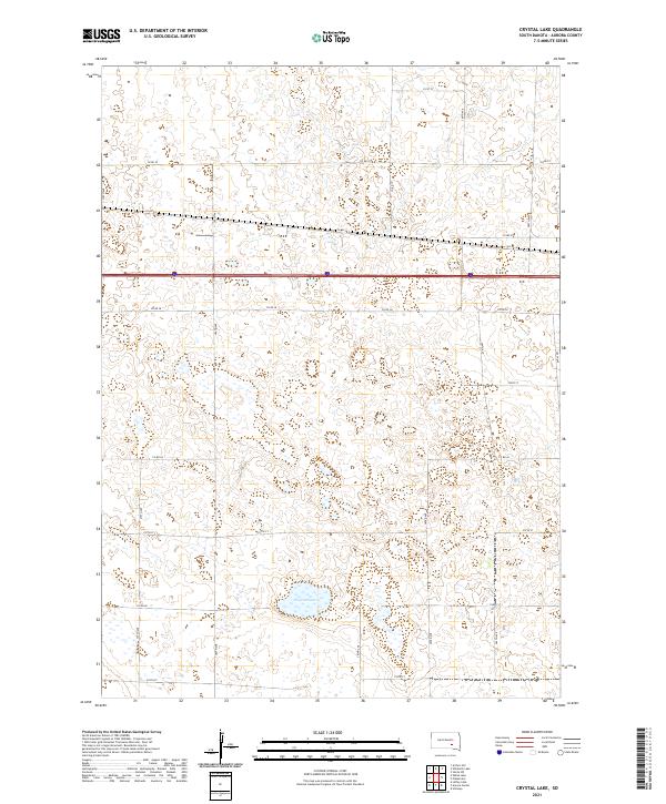
2021 Crystal Lake
Aurora County, SD
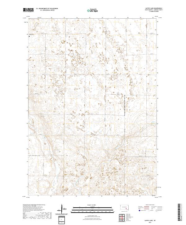
2021 Laffey Lake
Aurora County, SD
2021 Storla SW
Aurora County, SD
2021 Wilmarth Lake
Aurora County, SD
Featured Locations
- Belford Township, SD
- Bristol Township, SD
- Firesteel Township, SD
- Hopper Township, SD
- Plankinton Township, SD