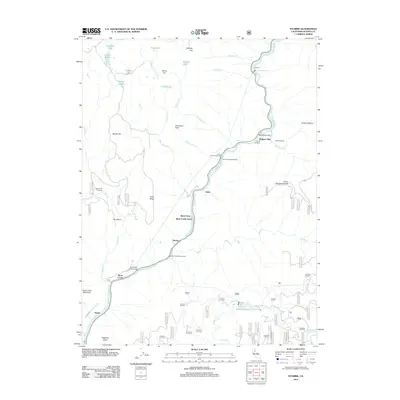
2012 Map of Storrie
USGS Topo · Published 2012About this map
The N Fork Feather River carves a deep path through this Plumas County landscape, serving as the primary corridor for infrastructure and small settlements like Storrie and Rodgers Flat. The canyon's steep walls are defined by features such as Tobin Ridge and Chambers Peak, while the river itself is a site of significant hydroelectric development, evidenced by the Bucks Creek Powerhouse and Rock Creek Powerhouse. High-elevation lakes and flats including Campbell Lake, Murphy Flat, and Oliver Lake dot the surrounding plateaus, providing a stark contrast to the industrial activity along the riverbed.
Find a feature on this map
79 named features on this map. Tap any name to fly to it.
Don’t see what you’re looking for? This feature index may not catch every label — zoom into the map to look around manually.
Map Details
Editions of this 2012 Storrie Map
This is the sole edition of this map. No revisions or reprints were ever made.
Other maps of this area

1886 · Lassen Peak
USGS Topo · 1:250,000

1888 · Bidwell Bar
USGS Topo · 1:125,000

1891 · Bidwell Bar
USGS Topo · 1:125,000

1892 · Lassen Peak
USGS Topo · 1:250,000

1893 · Bidwell Bar
USGS Topo · 1:125,000

1894 · Lassen Peak
USGS Topo · 1:250,000

1895 · Bidwell Bar
USGS Topo · 1:125,000

1897 · Bidwell Bar
USGS Topo · 1:125,000

1950 · Bucks Lake
USGS Topo · 1:62,500

1955 · Almanor
USGS Topo · 1:62,500