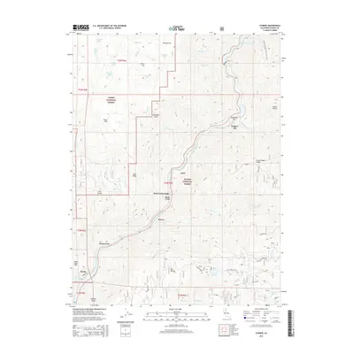
2015 Map of Storrie
USGS Topo · Published 2015About this map
The North Fork Feather River carves a deep path through this portion of the Sierra Nevada, serving as the primary corridor for both transportation and water management. Small mountain settlements like Tobin, Storrie, and Merlin are situated along the riverbanks, where the topography allows for development between the steep canyon walls. The presence of Tunnel 17 and Storrie Rd indicates the vital rail and road infrastructure that follows the river's course to navigate the difficult terrain.
Find a feature on this map
52 named features on this map. Tap any name to fly to it.
Don’t see what you’re looking for? This feature index may not catch every label — zoom into the map to look around manually.
Map Details
Editions of this 2015 Storrie Map
This is the sole edition of this map. No revisions or reprints were ever made.
Other maps of this area

1886 · Lassen Peak
USGS Topo · 1:250,000

1888 · Bidwell Bar
USGS Topo · 1:125,000

1891 · Bidwell Bar
USGS Topo · 1:125,000

1892 · Lassen Peak
USGS Topo · 1:250,000

1893 · Bidwell Bar
USGS Topo · 1:125,000

1894 · Lassen Peak
USGS Topo · 1:250,000

1895 · Bidwell Bar
USGS Topo · 1:125,000

1897 · Bidwell Bar
USGS Topo · 1:125,000

1950 · Bucks Lake
USGS Topo · 1:62,500

1955 · Almanor
USGS Topo · 1:62,500