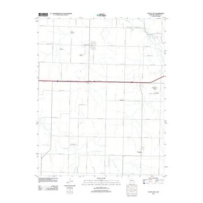
2011 Map of Stotts City
USGS Topo · Published 2011About this map
Stotts City serves as the central hub of this Lawrence County landscape, which is defined by a dense grid of rural roads and the meandering courses of Spring River and Center Creek. The settlement pattern reflects the area's agricultural roots, punctuated by numerous family and community burial grounds including Stotts Cemetery, Moores Cemetery, and Boucher Cemetery. To the southeast, the village of Freistatt anchors the local community, while the eastern edge features institutional footprints like the University of Missouri Experimental Farm and the Mount Vernon Municipal Airport. The terrain is marked by subtle drainages such as Pruitt Branch and Marti Hollow, illustrating the drainage basins that feed into the region's larger river systems. This map provides a detailed view of the rural infrastructure as it existed in the early 21st century, prior to further modernization of the local county road network.
Find a feature on this map
50 named features on this map. Tap any name to fly to it.
Don’t see what you’re looking for? This feature index may not catch every label — zoom into the map to look around manually.
Map Details
Editions of this 2011 Stotts City Map
This is the sole edition of this map. No revisions or reprints were ever made.
Other maps of this area

1886 · Greenfield
USGS Topo · 1:125,000

1886 · Carthage
USGS Topo · 1:125,000

1888 · Greenfield
USGS Topo · 1:125,000

1894 · Carthage
USGS Topo · 1:125,000

1921 · Stotts City
USGS Topo · 1:62,500

1921 · Sarcoxie
USGS Topo · 1:62,500

1943 · Ritchey
USGS Topo · 1:62,500

1943 · Monett
USGS Topo · 1:62,500

1945 · Harrison
USGS Topo · 1:250,000

1947 · Joplin
USGS Topo · 1:250,000