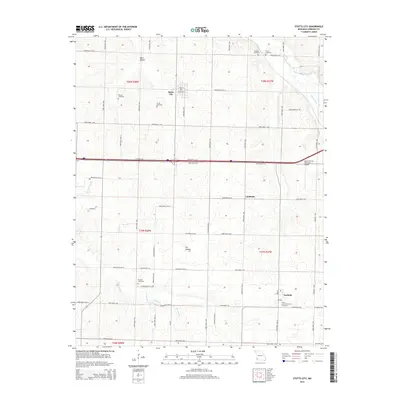
2015 Map of Stotts City
USGS Topo · Published 2015About this map
Stotts City and Freistatt anchor this Lawrence County landscape, which is defined by a dense network of farm roads and small family cemeteries that mark the area's agricultural heritage. Numerous burial grounds, including Moores Cemetery, Stotts Cemetery, and Boucher Cemetery, are scattered across the townships, offering critical data points for genealogical research in this part of Missouri. The terrain is shaped by the Spring River in the northeast and Center Cr to the south, with local relief carved out by Marti Hollow and Dry Hollow.
Find a feature on this map
65 named features on this map. Tap any name to fly to it.
Don’t see what you’re looking for? This feature index may not catch every label — zoom into the map to look around manually.
Map Details
Editions of this 2015 Stotts City Map
This is the sole edition of this map. No revisions or reprints were ever made.
Other maps of this area

1886 · Greenfield
USGS Topo · 1:125,000

1886 · Carthage
USGS Topo · 1:125,000

1888 · Greenfield
USGS Topo · 1:125,000

1894 · Carthage
USGS Topo · 1:125,000

1921 · Stotts City
USGS Topo · 1:62,500

1921 · Sarcoxie
USGS Topo · 1:62,500

1943 · Ritchey
USGS Topo · 1:62,500

1943 · Monett
USGS Topo · 1:62,500

1945 · Harrison
USGS Topo · 1:250,000

1947 · Joplin
USGS Topo · 1:250,000