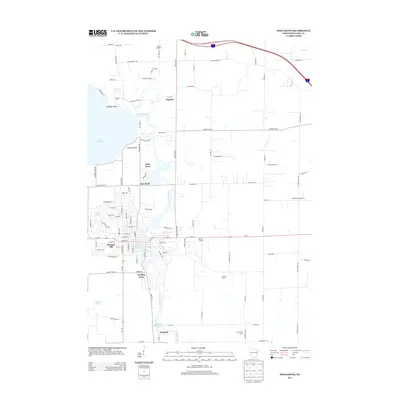
2013 Map of Stoughton
USGS Topo · Published 2013About this map
The Yahara River dictates the landscape of this Dane County area, flowing south from the expansive Lake Kegonsa toward the industrial history of the Stoughton Millpond 429. The river's path is marked by significant hydrological infrastructure, including the Dunkirk Millpond 442 further downstream, reflecting the importance of water management for local power and industry in the settlement of Dunkirk. The map shows a transition from the established residential pockets of Stoughton, such as Pleasant Hill and Virgin Lake, to the agricultural and orchards surrounding Greens Orchard and Furseth Farms. Transportation networks are well-defined, featuring Us-51 as a primary artery and local aviation sites like Matson Airport and Wisersky Airport providing utility to the outlying rural sectors.
Find a feature on this map
103 named features on this map. Tap any name to fly to it.
Don’t see what you’re looking for? This feature index may not catch every label — zoom into the map to look around manually.
Map Details
Editions of this 2013 Stoughton Map
This is the sole edition of this map. No revisions or reprints were ever made.
Other maps of this area

1889 · Evansville
USGS Topo · 1:62,500

1890 · Madison
USGS Topo · 1:62,500

1890 · Sun Prairie
USGS Topo · 1:62,500

1890 · Stoughton
USGS Topo · 1:62,500

1892 · Madison
USGS Topo · 1:62,500

1894 · Evansville
USGS Topo · 1:62,500

1896 · Sun Prairie
USGS Topo · 1:62,500

1904 · Madison
USGS Topo · 1:62,500

1905 · Sun Prairie
USGS Topo · 1:62,500

1906 · Evansville
USGS Topo · 1:62,500