2023 Map of Stoutsville
USGS Topo · Published 2023About this map
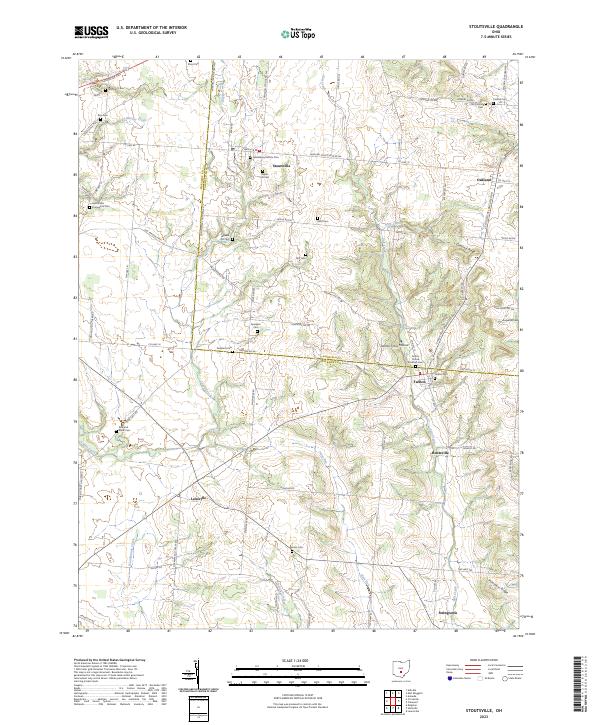
Tarlton Cross Mound stands as a significant earthwork near the town of Tarlton, marking a landscape where the upland ridges of Chestnut Ridge and Pumpkin Ridge descend toward the fertile valleys of Salt Creek and Scippo Creek. The map documents a predominantly agricultural region across the border of Pickaway and Fairfield counties, characterized by a dense network of country roads like the Stoutsville Pike and Zane Trail Rd. Small historic hubs such as Stoutsville and Leistville anchor the township divisions, while an exceptional number of family and community burial grounds, including the Heidelberg Reform Cem, Augustus Cem, and Imler Cem, provide deep genealogical texture. The drainage patterns of Wolf Creek and Plum Run illustrate the undulating terrain that historically influenced settlement placement and the winding routes of early thoroughfares like the Old Tarlton Pike.
Find a feature on this map
91 named features on this map. Tap any name to fly to it.
Don’t see what you’re looking for? This feature index may not catch every label — zoom into the map to look around manually.
Map Details
Editions of this 2023 Stoutsville Map
This is the sole edition of this map. No revisions or reprints were ever made.
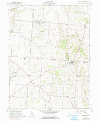
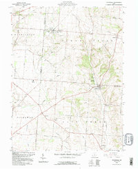
Historical Maps of Tarlton Through Time
3 maps found
Featured Locations
- Pickaway Township, OH
- Salt Creek Township, OH
- Washington Township, OH
- Clearcreek Township, OH
- Stoutsville, Clearcreek Township