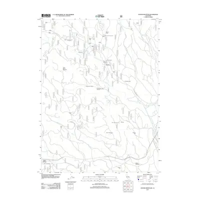
2012 Map of Stover Mountain
USGS Topo · Published 2012About this map
Saint Bernard and the surrounding high-country terrain are meticulously detailed in this survey of Tehama County, where the southern Cascades meet the Sierra Nevada. The landscape is defined by the headwaters of the N Fork Feather River and the Feather River, which cut through deep features like Locherman Canyon and Warner Valley. Recreational history is prominent throughout the quadrangle, evidenced by the Stover Mountain Ski Area, the Old Ski Hill, and several established camps including Rice Creek Campground and Stover Camp.
Find a feature on this map
38 named features on this map. Tap any name to fly to it.
Don’t see what you’re looking for? This feature index may not catch every label — zoom into the map to look around manually.
Map Details
Editions of this 2012 Stover Mountain Map
This is the sole edition of this map. No revisions or reprints were ever made.
Other maps of this area

1886 · Lassen Peak
USGS Topo · 1:250,000

1892 · Lassen Peak
USGS Topo · 1:250,000

1894 · Lassen Peak
USGS Topo · 1:250,000

1955 · Almanor
USGS Topo · 1:62,500

1955 · Westwood
USGS Topo · 1:250,000

1956 · Mt. Harkness
USGS Topo · 1:62,500

1956 · Chester
USGS Topo · 1:62,500

1958 · Westwood
USGS Topo · 1:250,000

1958 · Jonesville
USGS Topo · 1:62,500

1959 · Westwood
USGS Topo · 1:250,000