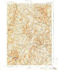
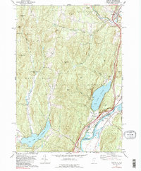
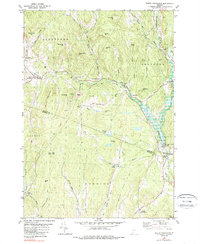
1896 Map of Strafford
USGS Topo · Published 1899About this map
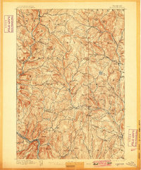
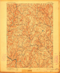
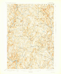
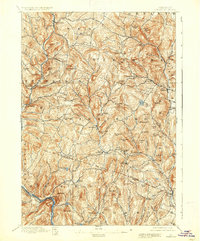
Copperfield and the neighboring hilltop hamlets of Vershire and Strafford define this late nineteenth-century portrait of the Vermont interior. The landscape is a complex network of brook-fed valleys and high ridges, where settlements like Old City and Mill Village grew around the hydraulic power of the Ompompanoosuc River and its various branches. This era reflects a mature agrarian and early industrial economy, visible in the clusters of Rices Mills and the railroad corridor of the Central Vermont along the White River at Sharon. Small communities such as New Boston and Union Village are connected by a dense web of valley roads and mountain passes. Names like Grannyhand Hill and Brocklebank Hill offer a glimpse into the local nomenclature of the time, while the presence of Eagle Ledge and Patterson Mtn highlights the significant vertical relief of the region.
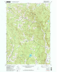
Find a feature on this map
86 named features on this map. Tap any name to fly to it.
Don’t see what you’re looking for? This feature index may not catch every label — zoom into the map to look around manually.
Map Details
Editions of this 1896 Strafford Map
6 editions found

Historical Maps of Norwich Through Time
26 maps found
1896 Strafford
Orange County, VT
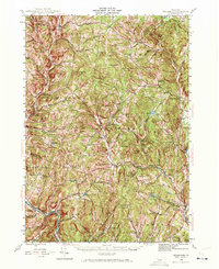
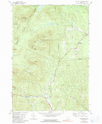
1944 Strafford
Orange County, VT

1947 Corinth
Orange County, VT

1973 East Corinth
Orange County, VT
1980 Brookfield
Orange County, VT
1981 Chelsea
Orange County, VT
1981 Fairlee
Orange County, VT
1981 Knox Mountain
Orange County, VT
1981 Randolph Center
Orange County, VT
1981 Randolph
Orange County, VT
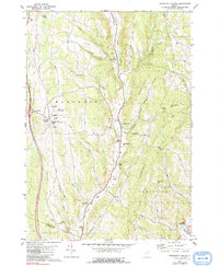
1981 South Strafford
Orange County, VT
1981 Vershire
Orange County, VT
1981 Washington
Orange County, VT

1981 West Topsham
Orange County, VT
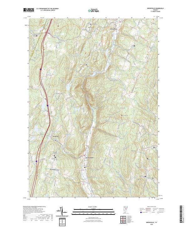
2024 Brookfield
Orange County, VT
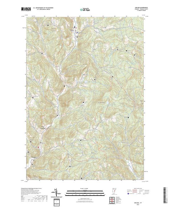
2024 Chelsea
Orange County, VT
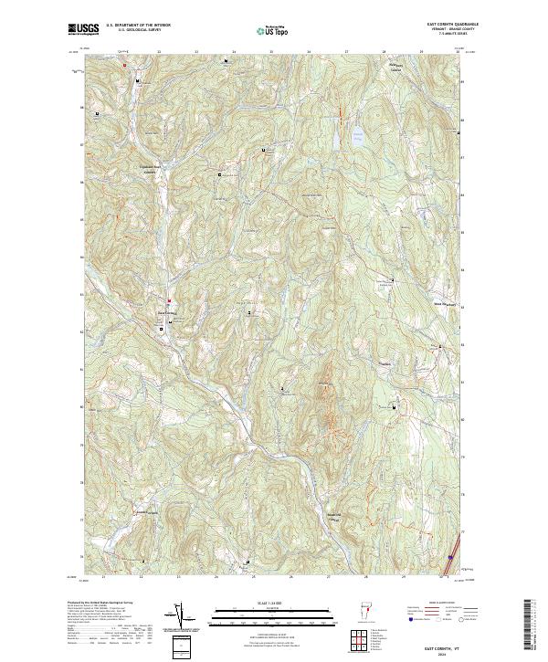
2024 East Corinth
Orange County, VT
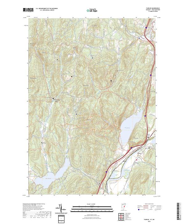
2024 Fairlee
Orange County, VT
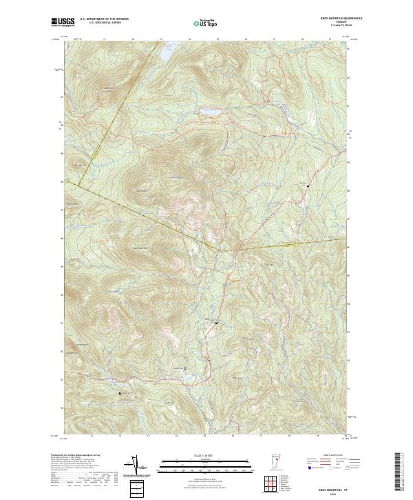
2024 Knox Mountain
Orange County, VT
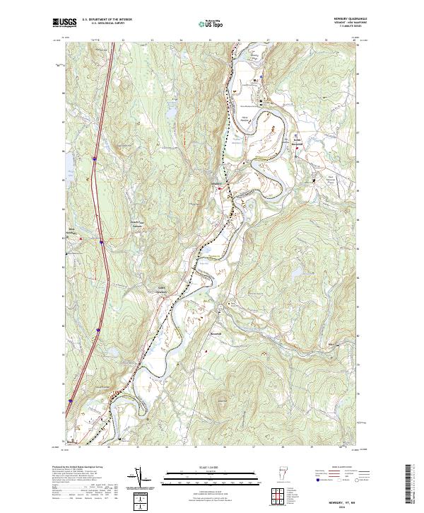
2024 Newbury
Orange County, VT
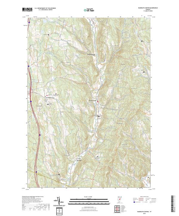
2024 Randolph Center
Orange County, VT
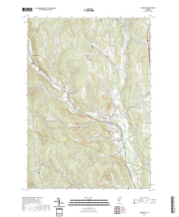
2024 Randolph
Orange County, VT
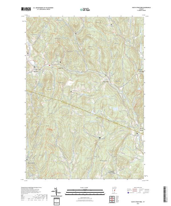
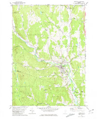
2024 South Strafford
Orange County, VT
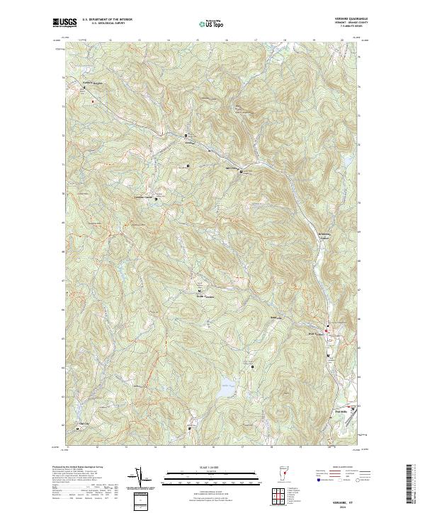
2024 Vershire
Orange County, VT
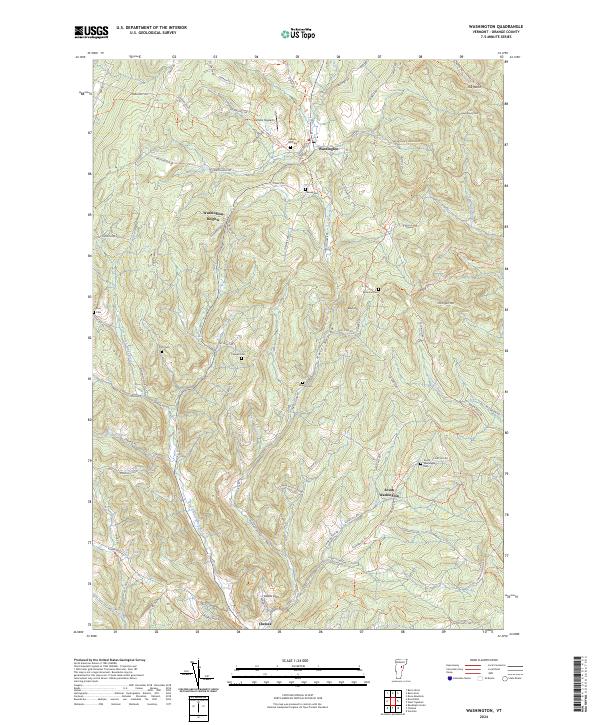
2024 Washington
Orange County, VT
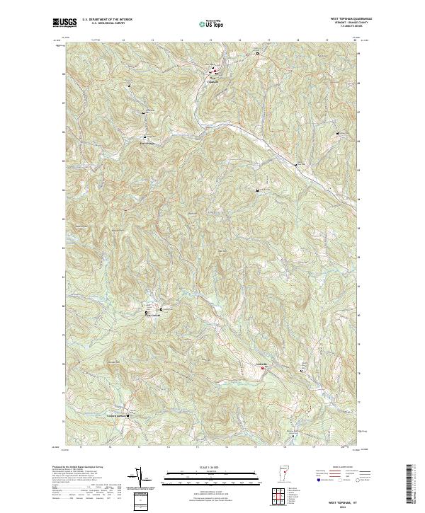
2024 West Topsham
Orange County, VT