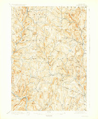
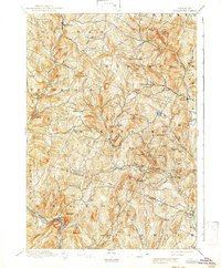
1896 Map of Strafford
USGS Topo · Published 1929About this map
Industrial and agricultural life in late nineteenth-century Vermont centers on the copper-bearing hills of Strafford and Vershire. The landscape is dominated by the Copper Mine near Copperfield, reflecting a period when this region was a significant producer of ore. Small manufacturing clusters and rural hamlets like Mill Village, Old City, and Rices Mills are scattered along the numerous brooks that feed the larger river systems. In the southwest corner, the Central Vermont R.R. follows the path of the White River through Sharon, providing a vital transportation link for the timber and mineral wealth of the interior. The map captures the dense network of upland farms and hill-country settlements, such as North Tunbridge and West Fairlee, before the reforestation of the twentieth century altered the visibility of these historic homestead sites and mountain roads.
Find a feature on this map
81 named features on this map. Tap any name to fly to it.
Don’t see what you’re looking for? This feature index may not catch every label — zoom into the map to look around manually.
Map Details
Editions of this 1896 Strafford Map
6 editions found
Other maps of this area

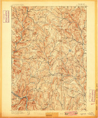
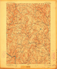
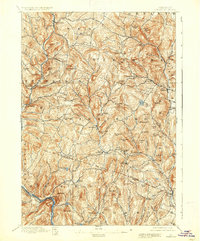
1896 · Strafford
USGS Topo · 1:62,500

1906 · Hanover
USGS Topo · 1:62,500

1908 · Hanover
USGS Topo · 1:62,500

1911 · Woodstock
USGS Topo · 1:62,500

1913 · Woodstock
USGS Topo · 1:62,500

1919 · Royalton
USGS Topo · 1:62,500

1922 · Barre
USGS Topo · 1:48,000

1924 · Barre
USGS Topo · 1:62,500

1924 · Randolph
USGS Topo · 1:48,000

1926 · Randolph
USGS Topo · 1:62,500