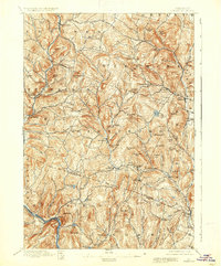
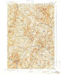
1896 Map of Strafford
USGS Topo · Published 1937About this map
Copperas Hill and the surrounding mining and milling hamlets define this late 19th-century landscape in eastern Vermont. The survey captures the height of local industry at Copperfield and Mill Village long before the decline of regional copper mining. The terrain is characterized by a dense network of family-named heights such as Grannyhand Hill, Swaney Bean, and Whitcomb Hill, reflecting a period of intense upland settlement and farming. The drainage systems of the Ompompanoosuc River and the First Branch White River dictate the placement of older village centers like South Strafford and Tunbridge. Along the southwestern corner, the Central Vermont Railroad follows the White River, connecting these rural interior townships to larger commercial markets. This map serves as a vital record for genealogists tracing ancestors in settlements like Old City or New Boston, which appear here in their functional prime.
Find a feature on this map
86 named features on this map. Tap any name to fly to it.
Don’t see what you’re looking for? This feature index may not catch every label — zoom into the map to look around manually.
Map Details
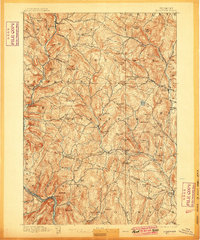
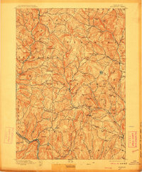
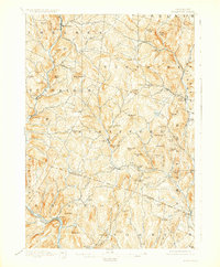
Editions of this 1896 Strafford Map
6 editions found
Other maps of this area

1896 · Strafford
USGS Topo · 1:62,500

1906 · Hanover
USGS Topo · 1:62,500

1908 · Hanover
USGS Topo · 1:62,500

1911 · Woodstock
USGS Topo · 1:62,500

1913 · Woodstock
USGS Topo · 1:62,500

1919 · Royalton
USGS Topo · 1:62,500

1922 · Barre
USGS Topo · 1:48,000

1924 · Barre
USGS Topo · 1:62,500

1924 · Randolph
USGS Topo · 1:48,000

1926 · Randolph
USGS Topo · 1:62,500