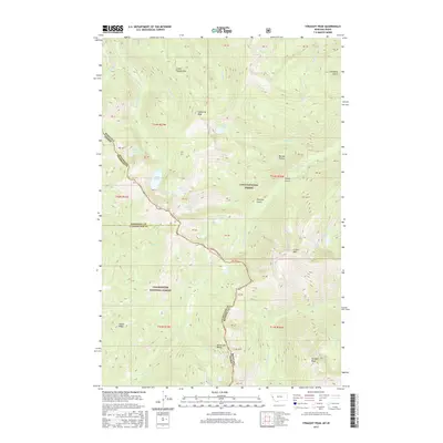
2017 Map of Straight Peak
USGS Topo · Published 2017About this map
The Bitterroot Range forms a high-altitude border between Idaho and Montana, defining the topographical character of this remote backcountry. Managed as part of the Lolo National Forest and Clearwater National Forest, the area is punctuated by significant summits including Straight Peak and Lightning Peak. The hydrological landscape is dominated by glacial basins and alpine waters, with French Lake, Goose Lake, and Crater Lake providing the source for numerous drainages like French Cr and Goose Cr. Named topographic features such as Buckos Pocket and Louisiana Gulch hint at the local history of prospecting and backcountry travel within Shoshone County and Clearwater County. This survey documents the network of ridges and drainages where the state line follows the divide, including the steep corridors of Snowy Gulch and Fletcher Gulch.
Find a feature on this map
45 named features on this map. Tap any name to fly to it.
Don’t see what you’re looking for? This feature index may not catch every label — zoom into the map to look around manually.
Map Details
Editions of this 2017 Straight Peak Map
This is the sole edition of this map. No revisions or reprints were ever made.
Other maps of this area

1911 · Lolo
USGS Topo · 1:250,000

1913 · Lolo
USGS Topo · 1:250,000

1918 · St Regis
USGS Topo · 1:125,000

1919 · St. Regis
USGS Topo · 1:125,000

1956 · Wallace
USGS Topo · 1:250,000

1956 · Hamilton
USGS Topo · 1:250,000

1957 · Illinois Peak
USGS Topo · 1:62,500

1959 · Hamilton
USGS Topo · 1:250,000

1960 · Wallace
USGS Topo · 1:250,000

1960 · Hamilton
USGS Topo · 1:250,000