
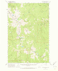
1960 Map of Straight Peak
USGS Topo · Published 1963About this map
Straight Peak stands at the heart of this high-elevation landscape, where the Idaho and Montana border follows the drainage divides of the Bitterroot Range. In the early 1960s, the area was defined by its remote outpost infrastructure, serving both the Lolo National Forest and Clearwater National Forest. The map detail reveals a network of high-country dwellings and operational sites, including the Clear Water Crossing Ranger Station, Baileys Lodge, and several remote outposts like North Fork Cabin and Greenwood Cabins.
Find a feature on this map
94 named features on this map. Tap any name to fly to it.
Don’t see what you’re looking for? This feature index may not catch every label — zoom into the map to look around manually.
Map Details
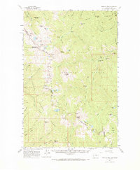
Editions of this 1960 Straight Peak Map
3 editions found
Other maps of this area

1911 · Lolo
USGS Topo · 1:250,000

1913 · Lolo
USGS Topo · 1:250,000

1918 · St Regis
USGS Topo · 1:125,000

1919 · St. Regis
USGS Topo · 1:125,000

1956 · Wallace
USGS Topo · 1:250,000

1956 · Hamilton
USGS Topo · 1:250,000

1957 · Illinois Peak
USGS Topo · 1:62,500

1959 · Hamilton
USGS Topo · 1:250,000

1959 · Tarkio
USGS Topo · 1:62,500

1960 · Wallace
USGS Topo · 1:250,000