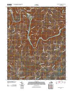
2010 Map of Straightstone
USGS Topo · Published 2010About this map
The Roanoke River winds through this central Virginia landscape, defining the boundaries and transport patterns of settlements like Mansion and Seneca. A network of rural routes, including Clays Ferry Rd and the Mansion Truss Bridge, connects small crossroads communities such as Taber and Level Run. The terrain is shaped by Brown Mountain and numerous watercourses like Straightstone Creek and Minter Creek that feed into the larger river system. Genealogists and local historians can find markers of long-established community life at New Bethel Cemetery and tracing family-named landmarks such as Dews Dam or Perrows. The inclusion of the Worshams Pasture Ultralight Airport reflects a mix of traditional agricultural land use and more modern aviation activities in this rural Campbell County corridor.
Find a feature on this map
49 named features on this map. Tap any name to fly to it.
Don’t see what you’re looking for? This feature index may not catch every label — zoom into the map to look around manually.
Map Details
Editions of this 2010 Straightstone Map
This is the sole edition of this map. No revisions or reprints were ever made.
Other maps of this area

1892 · Lynchburg
USGS Topo · 1:125,000

1921 · Chatham
USGS Topo · 1:48,000

1923 · Chatham
USGS Topo · 1:62,500

1947 · Roanoke
USGS Topo · 1:250,000

1951 · Altavista
USGS Topo · 1:62,500

1953 · Greensboro
USGS Topo · 1:250,000

1954 · Greensboro
USGS Topo · 1:250,000

1954 · Riceville
USGS Topo · 1:62,500

1956 · Gladys
USGS Topo · 1:62,500

1959 · Roanoke
USGS Topo · 1:250,000