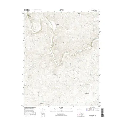
2016 Map of Straightstone
USGS Topo · Published 2016About this map
The Roanoke River carves a winding path along the border of Campbell and Pittsylvania counties, defining the character of this rural Virginia landscape. Small rural communities like Straightstone and Level Run anchor a network of country roads, including Level Run Rd and Wards Rd, that follow the ridges and creek valleys. Notable local landmarks like the Mansion Truss Bridge and New Bethel Cem offer tangible points of interest for genealogists tracing family ties to the area.
Find a feature on this map
64 named features on this map. Tap any name to fly to it.
Don’t see what you’re looking for? This feature index may not catch every label — zoom into the map to look around manually.
Map Details
Editions of this 2016 Straightstone Map
This is the sole edition of this map. No revisions or reprints were ever made.
Other maps of this area

1892 · Lynchburg
USGS Topo · 1:125,000

1921 · Chatham
USGS Topo · 1:48,000

1923 · Chatham
USGS Topo · 1:62,500

1947 · Roanoke
USGS Topo · 1:250,000

1951 · Altavista
USGS Topo · 1:62,500

1953 · Greensboro
USGS Topo · 1:250,000

1954 · Greensboro
USGS Topo · 1:250,000

1954 · Riceville
USGS Topo · 1:62,500

1956 · Gladys
USGS Topo · 1:62,500

1959 · Roanoke
USGS Topo · 1:250,000