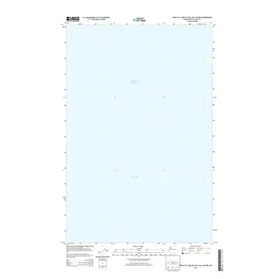
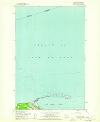
2014 Map of Strait of Juan de Fuca (All Water)
USGS Topo · Published 2014About this map
Strait of Juan de Fuca and the northern reaches of Puget Sound dominate this 2014 hydrographic survey. Located along the maritime border of Washington and British Columbia, the map focuses exclusively on the deep water channels that serve as the gateway for international shipping and local navigation. Unlike traditional topographic maps that detail terrestrial landmarks, this quadrangle highlights the expanse of the Strait of Juan de Fuca where it meets the inland sea. The absence of landmasses or bathymetric contours emphasizes the open-water nature of this specific maritime coordinate between Clallam and Jefferson counties. It serves as a clear reference for the significant naval corridors connecting the Pacific Ocean to the complex waterways of the Pacific Northwest.
Find a feature on this map
2 named features on this map. Tap any name to fly to it.
Don’t see what you’re looking for? This feature index may not catch every label — zoom into the map to look around manually.
Map Details
Editions of this 2014 Strait of Juan de Fuca (All Water) Map
This is the sole edition of this map. No revisions or reprints were ever made.
Other maps of this area

1918 · Port Angeles
USGS Topo · 1:62,500

1938 · Dungeness
USGS Topo · 1:62,500

1939 · Dungeness
USGS Topo · 1:62,500

1941 · Port Angeles
USGS Topo · 1:62,500

1950 · Ediz Hook
USGS Topo · 1:24,000
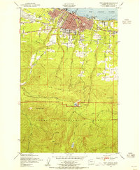
1950 · Port Angeles
USGS Topo · 1:24,000
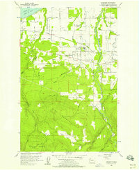
1956 · Carlsborg
USGS Topo · 1:24,000
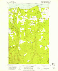
1956 · Morse Creek
USGS Topo · 1:24,000

1957 · Victoria
USGS Topo · 1:250,000
1961 · Ediz Hook
USGS Topo · 1:24,000