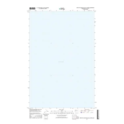
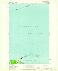
2017 Map of Strait of Juan de Fuca (All Water)
USGS Topo · Published 2017About this map
Puget Sound occupies the entirety of this marine survey, capturing the open waters within the Strait of Juan de Fuca (All Water) quadrangle. This 2017 edition by the U.S. Geological Survey focuses exclusively on the hydrography of the passage between Clallam County and the international boundary. As a specialized all-water sheet, it serves as a precise coordinate grid for the maritime corridor, where the lack of terrestrial landmarks emphasizes the scale of the waterway. The map provides a clean cartographic reference for the depths and aquatic boundaries of this critical Pacific Northwest shipping lane.
Find a feature on this map
1 named feature on this map. Tap any name to fly to it.
Don’t see what you’re looking for? This feature index may not catch every label — zoom into the map to look around manually.
Map Details
Editions of this 2017 Strait of Juan de Fuca (All Water) Map
This is the sole edition of this map. No revisions or reprints were ever made.
Other maps of this area

1918 · Port Angeles
USGS Topo · 1:62,500

1938 · Dungeness
USGS Topo · 1:62,500

1939 · Dungeness
USGS Topo · 1:62,500

1941 · Port Angeles
USGS Topo · 1:62,500

1950 · Ediz Hook
USGS Topo · 1:24,000
1950 · Port Angeles
USGS Topo · 1:24,000
1956 · Carlsborg
USGS Topo · 1:24,000
1956 · Morse Creek
USGS Topo · 1:24,000

1957 · Victoria
USGS Topo · 1:250,000
1961 · Ediz Hook
USGS Topo · 1:24,000