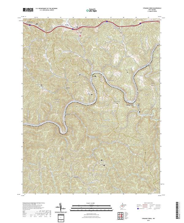
2023 Map of Strange Creek
USGS Topo · Published 2023About this map
The Elk River winds through this central West Virginia landscape, joined by the Birch River near the small community of Glendon. This area is defined by its intricate drainage patterns and steep ridgelines, including Villanova Ridge and Keener Ridge. Small settlements such as Duck, Strange Creek, and Servia are scattered along the narrow valley floors and upland gaps, connected by a network of rural routes like Servia Rd and Tate Creek Rd.
Find a feature on this map
119 named features on this map. Tap any name to fly to it.
Don’t see what you’re looking for? This feature index may not catch every label — zoom into the map to look around manually.
Map Details
Editions of this 2023 Strange Creek Map
This is the sole edition of this map. No revisions or reprints were ever made.
Other maps of this area

1889 · Nicholas
USGS Topo · 1:125,000

1891 · Nicholas
USGS Topo · 1:125,000

1893 · Sutton
USGS Topo · 1:125,000

1897 · Kanawha Falls
USGS Topo · 1:125,000

1900 · Kanawha Falls
USGS Topo · 1:125,000

1901 · Nicholas
USGS Topo · 1:125,000

1901 · Kanawha Falls
USGS Topo · 1:125,000

1906 · Otter
USGS Topo · 1:62,500

1907 · Otter
USGS Topo · 1:62,500

1908 · Clay
USGS Topo · 1:48,000