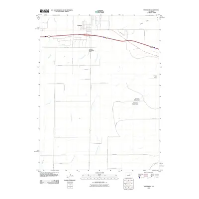
2010 Map of Strasburg
USGS Topo · Published 2010About this map
Strasburg serves as the focal point of this Eastern Plains landscape, situated where the high plains meet the headwaters of several northward-flowing drainages. The area is defined by a dense grid of rural roads, including family-named and descriptive routes like Piggott Rd and the uniquely titled N Pass Me By Mile Rd, which provide access to a mix of ranching operations and private airfields. Aviation history is visible through the presence of the Comanche Springs Ranch Airport and the Spickard Farm Airport, reflecting the regional reliance on light aircraft for transport across large acreage.
Find a feature on this map
41 named features on this map. Tap any name to fly to it.
Don’t see what you’re looking for? This feature index may not catch every label — zoom into the map to look around manually.
Map Details
Editions of this 2010 Strasburg Map
This is the sole edition of this map. No revisions or reprints were ever made.
Other maps of this area

1949 · Bennett
USGS Topo · 1:24,000

1950 · Roper School
USGS Topo · 1:24,000

1951 · Roper School
USGS Topo · 1:24,000

1952 · Leader SW
USGS Topo · 1:24,000

1953 · Denver
USGS Topo · 1:250,000

1955 · Strasburg NW
USGS Topo · 1:24,000

1955 · Strasburg
USGS Topo · 1:24,000

1956 · Byers
USGS Topo · 1:24,000

1957 · Denver
USGS Topo · 1:250,000

1958 · Denver
USGS Topo · 1:250,000