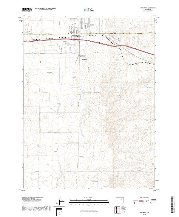
2022 Map of Strasburg
USGS Topo · Published 2022About this map
Strasburg serves as the primary hub on this High Plains landscape, straddling the border of Adams Co and Arapahoe Co. The area is defined by a series of north-flowing seasonal drainages, including the branching Comanche Cr and Little Comanche Cr, alongside Wolf Cr to the west and Spring Gulch to the northeast. These waterways carve through the terrain in a region otherwise dominated by a grid-like network of rural roads such as E Quincy Rd and Wolf Creek Rd. Several private landing strips, including Comanche Airfield LLC, Comanche Springs Ranch Airport, and Spickard Farm Airport, underscore the logistical character of these expansive Colorado ranchlands and farms in the early 21st century.
Find a feature on this map
47 named features on this map. Tap any name to fly to it.
Don’t see what you’re looking for? This feature index may not catch every label — zoom into the map to look around manually.
Map Details
Editions of this 2022 Strasburg Map
This is the sole edition of this map. No revisions or reprints were ever made.
Other maps of this area

1949 · Bennett
USGS Topo · 1:24,000

1950 · Roper School
USGS Topo · 1:24,000

1951 · Roper School
USGS Topo · 1:24,000

1952 · Leader SW
USGS Topo · 1:24,000

1953 · Denver
USGS Topo · 1:250,000

1955 · Strasburg NW
USGS Topo · 1:24,000

1955 · Strasburg
USGS Topo · 1:24,000

1956 · Byers
USGS Topo · 1:24,000

1957 · Denver
USGS Topo · 1:250,000

1958 · Denver
USGS Topo · 1:250,000