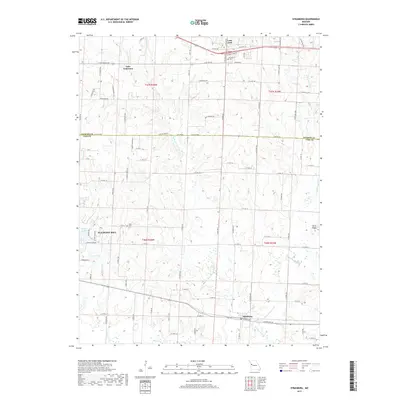
2017 Map of Strasburg
USGS Topo · Published 2017About this map
Pleasant Hill and Strasburg anchor this segment of the Jackson and Cass County line, where the rural Missouri landscape meets growing residential development. The terrain is defined by the winding paths of the W Br Crawford Cr and E Br Crawford Cr, which converge to feed into the larger Crawford Creek system. Historical burial sites such as Soldiers Cem near Lone Jack and Sloan Cem provide essential anchor points for genealogists and local historians. The map also captures the recreational and residential infrastructure surrounding Baldwin Lake and Van Lake, while the northeastern corner shows the southern extent of Lake Lotawana. The presence of established routes like Stringtown Rd and US Hwy 50 illustrates the long-standing transport patterns connecting these agrarian and small-town communities.
Find a feature on this map
93 named features on this map. Tap any name to fly to it.
Don’t see what you’re looking for? This feature index may not catch every label — zoom into the map to look around manually.
Map Details
Editions of this 2017 Strasburg Map
This is the sole edition of this map. No revisions or reprints were ever made.
Other maps of this area

1887 · Harrisonville
USGS Topo · 1:125,000

1892 · Harrisonville
USGS Topo · 1:125,000

1894 · Harrisonville
USGS Topo · 1:125,000

1934 · Woods Chapel
USGS Topo · 1:24,000

1935 · Tarsney
USGS Topo · 1:24,000

1947 · Lawrence
USGS Topo · 1:250,000

1950 · Lawrence
USGS Topo · 1:250,000

1954 · Harrisonville
USGS Topo · 1:24,000
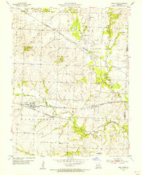
1954 · East Lynne
USGS Topo · 1:24,000
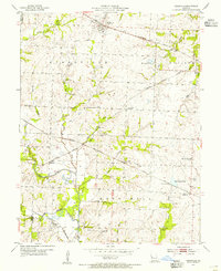
1954 · Kingsville
USGS Topo · 1:24,000