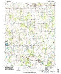
1990 Map of Strasburg
USGS Topo · Published 1996About this map
The winding course of Big Creek and its many tributaries, including Crawford Creek and the West Branch, define this section of the Missouri landscape on the boundary of Jackson and Cass counties. The settlement of Strasburg anchors the southern portion of the sheet, where residential blocks meet the agricultural flatlands. To the north, the village of Lone Jack sits near several community landmarks, including the Soldiers Cem and a Mobile Home Park.
Find a feature on this map
18 named features on this map. Tap any name to fly to it.
Don’t see what you’re looking for? This feature index may not catch every label — zoom into the map to look around manually.
Map Details
Editions of this 1990 Strasburg Map
This is the sole edition of this map. No revisions or reprints were ever made.
Other maps of this area

1887 · Harrisonville
USGS Topo · 1:125,000

1892 · Harrisonville
USGS Topo · 1:125,000

1894 · Harrisonville
USGS Topo · 1:125,000

1934 · Woods Chapel
USGS Topo · 1:24,000

1935 · Tarsney
USGS Topo · 1:24,000

1947 · Lawrence
USGS Topo · 1:250,000

1950 · Lawrence
USGS Topo · 1:250,000

1954 · Harrisonville
USGS Topo · 1:24,000
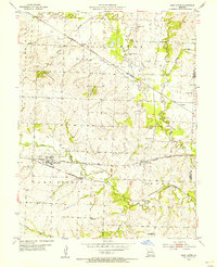
1954 · East Lynne
USGS Topo · 1:24,000
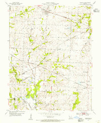
1954 · Kingsville
USGS Topo · 1:24,000