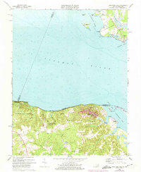
1968 Map of Stratford Hall
USGS Topo · Published 1974About this map
Stratford Hall, the ancestral home of the Lee family, anchors this coastal landscape along the south bank of the Potomac River. The terrain is defined by dramatic elevations where the Stratford Cliffs and Horsehead Cliffs meet the water, giving way inland to a network of drainage systems like Kenna Swamp and Black Swamp. These wetlands feed into tidal estuaries such as Currioman Creek, which supported local navigation and commerce at sites like Currioman Landing.
Find a feature on this map
60 named features on this map. Tap any name to fly to it.
Don’t see what you’re looking for? This feature index may not catch every label — zoom into the map to look around manually.
Map Details
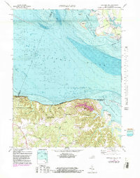
Editions of this 1968 Stratford Hall Map
2 editions found
Other maps of this area

1892 · Leonardtown
USGS Topo · 1:62,500

1892 · Piney Point
USGS Topo · 1:62,500

1892 · Montross
USGS Topo · 1:62,500

1894 · Wicomico
USGS Topo · 1:62,500

1894 · Piney Point
USGS Topo · 1:62,500

1895 · Wicomico
USGS Topo · 1:62,500

1895 · Leonardtown
USGS Topo · 1:62,500

1895 · Nomini
USGS Topo · 1:125,000

1895 · Piney Point
USGS Topo · 1:62,500

1895 · Montross
USGS Topo · 1:62,500