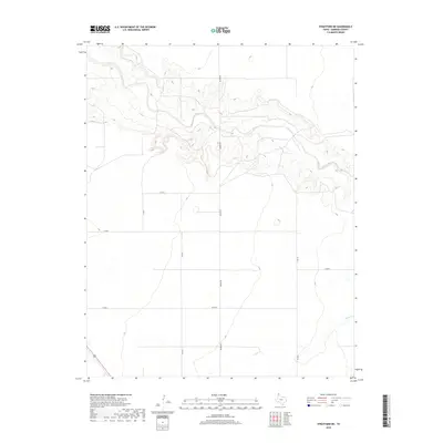
2019 Map of Stratford NE
USGS Topo · Published 2019About this map
Beaver River cuts a prominent path through this Sherman County landscape, creating a series of deep drainages and bluffs that contrast sharply with the surrounding High Plains flats. The terrain is defined by these natural watercourses and a rigid grid of rural transport routes, including the north-south artery of Beaver Rd and numerous county roads like Co Rd E and Co Rd H. In the southeastern portion of the sheet, the headwaters of Frisco Cr begin to carve into the topography, illustrating the drainage patterns of the Texas Panhandle. This survey reflects a modern agricultural and ranching environment where section lines dictate movement across the plains, yet the fundamental geography remains anchored by the seasonal flow of the river and its many unnamed draws.
Find a feature on this map
10 named features on this map. Tap any name to fly to it.
Don’t see what you’re looking for? This feature index may not catch every label — zoom into the map to look around manually.
Map Details
Editions of this 2019 Stratford NE Map
This is the sole edition of this map. No revisions or reprints were ever made.
Other maps of this area

1954 · Perryton
USGS Topo · 1:250,000

1954 · Dalhart
USGS Topo · 1:250,000

1958 · Perryton
USGS Topo · 1:250,000

1958 · Dalhart
USGS Topo · 1:250,000

1962 · Dalhart
USGS Topo · 1:250,000

1964 · Brickel
USGS Topo · 1:24,000

1964 · Kerrick
USGS Topo · 1:24,000

1964 · Stevens SW
USGS Topo · 1:24,000

1964 · Stratford
USGS Topo · 1:24,000

1964 · Stratford NE
USGS Topo · 1:24,000