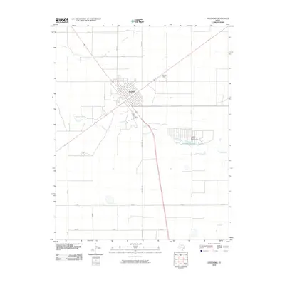
2010 Map of Stratford
USGS Topo · Published 2010About this map
Stratford serves as the primary hub of this High Plains landscape, where the intersection of major roads and rail lines dictates the town's distinct grid. The surrounding Sherman County terrain is defined by the ephemeral flow of Frisco Creek to the north and Coldwater Creek to the south. An important local infrastructure development is the Stratford Feeders Reservoir, held by the Stratford Feeders Reservoir Dam, which provides a vital water source for the region's agricultural and ranching operations.
Find a feature on this map
19 named features on this map. Tap any name to fly to it.
Don’t see what you’re looking for? This feature index may not catch every label — zoom into the map to look around manually.
Map Details
Editions of this 2010 Stratford Map
This is the sole edition of this map. No revisions or reprints were ever made.
Other maps of this area

1954 · Perryton
USGS Topo · 1:250,000

1954 · Dalhart
USGS Topo · 1:250,000

1958 · Perryton
USGS Topo · 1:250,000

1958 · Dalhart
USGS Topo · 1:250,000

1962 · Dalhart
USGS Topo · 1:250,000

1964 · Brickel
USGS Topo · 1:24,000

1964 · Kerrick
USGS Topo · 1:24,000

1964 · Stevens SW
USGS Topo · 1:24,000

1964 · Stratford
USGS Topo · 1:24,000

1964 · Stratford NE
USGS Topo · 1:24,000