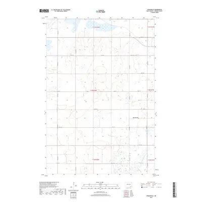
2018 Map of Straubville
USGS Topo · Published 2018About this map
Straubville serves as the central point of reference in this southeastern North Dakota landscape, situated within a section-line grid of rural roads like 95th St SE and 119th Ave SE. The geography is defined by numerous prairie potholes and wetlands, including Lake Taayer, Pickell Slough, and Dill Slough. The land is meticulously organized into townships such as T130N R58W, reflecting the influence of the Public Land Survey System on the region's agricultural development. Water management is evident through features like Ditch Number 1 and Meszaros Slough, which highlight the efforts to utilize the glaciated terrain for farming. This map provides a clear record of the rural infrastructure and natural drainage patterns that have shaped Sargent County's history.
Find a feature on this map
21 named features on this map. Tap any name to fly to it.
Don’t see what you’re looking for? This feature index may not catch every label — zoom into the map to look around manually.
Map Details
Editions of this 2018 Straubville Map
This is the sole edition of this map. No revisions or reprints were ever made.
Other maps of this area

1894 · Hecla
USGS Topo · 1:62,500

1894 · Oakes
USGS Topo · 1:62,500

1895 · Lamoure
USGS Topo · 1:125,000

1896 · Columbia
USGS Topo · 1:125,000

1918 · La Moure
USGS Topo · 1:125,000

1952 · Oakes
USGS Topo · 1:24,000

1952 · Crete
USGS Topo · 1:24,000

1953 · Jamestown
USGS Topo · 1:250,000

1953 · Newark
USGS Topo · 1:24,000

1953 · Milbank
USGS Topo · 1:250,000
Featured Places
- Brampton Township, ND
- Jackson Township, ND
- Southwest Township, ND
- Verner Township, ND
- Harlem Township, ND