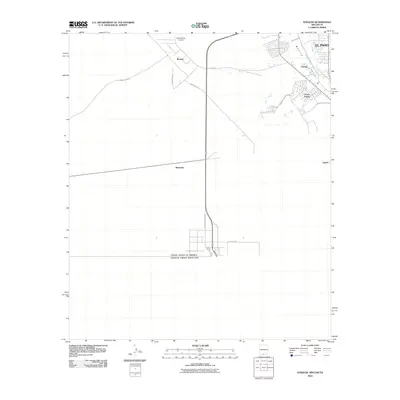
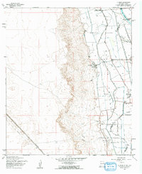
2010 Map of Strauss
USGS Topo · Published 2010About this map
The Mesilla Valley defines the northeastern corner of this landscape, where irrigation infrastructure like the West Drain and Crawford Lateral supports the transition from the river bottom to the high desert. Settlement is concentrated along the edge of the valley in Santa Teresa and Orange, while the western expanse remains largely open, marked by the Santa Teresa Airport and industrial corridors like Industrial Rd.
Find a feature on this map
17 named features on this map. Tap any name to fly to it.
Don’t see what you’re looking for? This feature index may not catch every label — zoom into the map to look around manually.
Map Details
Editions of this 2010 Strauss Map
This is the sole edition of this map. No revisions or reprints were ever made.
Other maps of this area

1917 · Canutillo
USGS Topo · 1:62,500

1917 · Noria
USGS Topo · 1:62,500

1918 · Noria
USGS Topo · 1:62,500

1919 · Canutillo
USGS Topo · 1:62,500

1953 · El Paso
USGS Topo · 1:250,000
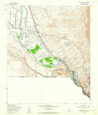
1955 · Smeltertown
USGS Topo · 1:24,000
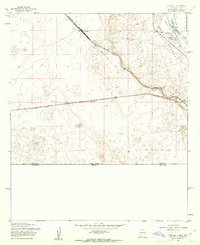
1955 · Strauss
USGS Topo · 1:24,000
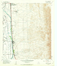
1955 · Canutillo
USGS Topo · 1:24,000
1955 · La Union
USGS Topo · 1:24,000

1959 · El Paso
USGS Topo · 1:250,000