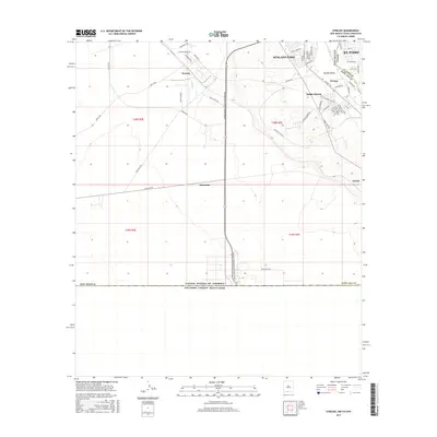
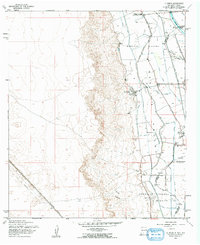
2017 Map of Strauss
USGS Topo · Published 2017About this map
Santa Teresa and Sunland Park define this international landscape where New Mexico, Texas, and Mexico converge. This 2017 survey shows the intense development concentrated in the eastern corner near El Paso, while the western stretches remain characterized by industrial infrastructure and open terrain. The Santa Teresa International Beltway serves as a modern spine through the center of the quadrangle, linking the residential blocks of Orange and Santa Teresa to the industrial zones near Strauss. To the east, the Mesilla Valley edge is marked by irrigation features like the Crawford Lateral. Notable for its placement on the border, the map details the boundary between the United States of America and Estados Unidos Mexicanos, alongside smaller settlements like Mastodon and Lizard that dot the rail and road corridors.
Find a feature on this map
56 named features on this map. Tap any name to fly to it.
Don’t see what you’re looking for? This feature index may not catch every label — zoom into the map to look around manually.
Map Details
Editions of this 2017 Strauss Map
This is the sole edition of this map. No revisions or reprints were ever made.
Other maps of this area

1917 · Canutillo
USGS Topo · 1:62,500

1917 · Noria
USGS Topo · 1:62,500

1918 · Noria
USGS Topo · 1:62,500

1919 · Canutillo
USGS Topo · 1:62,500

1953 · El Paso
USGS Topo · 1:250,000
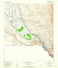
1955 · Smeltertown
USGS Topo · 1:24,000
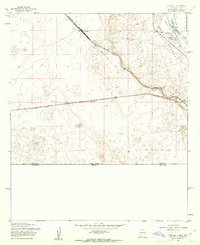
1955 · Strauss
USGS Topo · 1:24,000
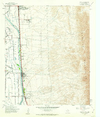
1955 · Canutillo
USGS Topo · 1:24,000
1955 · La Union
USGS Topo · 1:24,000

1959 · El Paso
USGS Topo · 1:250,000