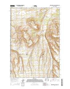
2014 Map of Strawberry Canyon NE
USGS Topo · Published 2014About this map
Finley Buttes and the winding course of Sand Hollow anchor this 2014 survey of high-desert terrain in Morrow County. The landscape is structured by a grid of agricultural and access roads, reflecting the large-scale ranching and industrial utility of this section of the Oregon interior. Named routes like Homestead Ln and Lindsay Feedlot Ln point to the area's rural development and livestock economy, while Bombing Range Rd hints at the proximity of military land use.
Find a feature on this map
10 named features on this map. Tap any name to fly to it.
Don’t see what you’re looking for? This feature index may not catch every label — zoom into the map to look around manually.
Map Details
Editions of this 2014 Strawberry Canyon NE Map
This is the sole edition of this map. No revisions or reprints were ever made.
Other maps of this area

1906 · Blalock Island
USGS Topo · 1:125,000

1908 · Blalock Island
USGS Topo · 1:125,000

1908 · Umatilla
USGS Topo · 1:125,000

1953 · Pendleton
USGS Topo · 1:250,000

1956 · Pendleton
USGS Topo · 1:250,000

1962 · Ordnance
USGS Topo · 1:24,000

1962 · Boardman
USGS Topo · 1:24,000

1962 · Clarke
USGS Topo · 1:24,000

1968 · Service Buttes NW
USGS Topo · 1:24,000

1968 · Butter Creek Junction
USGS Topo · 1:24,000