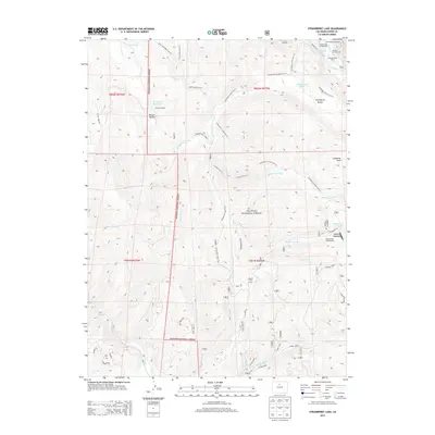
2013 Map of Strawberry Lake
USGS Topo · Published 2013About this map
Arapaho National Forest dominates this mountain landscape, which is characterized by a dense network of high-altitude trails and managed water resources. Central to the area's geography are Strawberry Lake and the nearby Strawberry Creek, which are supported by a complex system of diversions including the Strawberry Ditch and Meadow Cr Ditch. These features point to the historical importance of water management in the Rockies, channeling runoff through the rugged terrain for downstream use.
Find a feature on this map
45 named features on this map. Tap any name to fly to it.
Don’t see what you’re looking for? This feature index may not catch every label — zoom into the map to look around manually.
Map Details
Editions of this 2013 Strawberry Lake Map
This is the sole edition of this map. No revisions or reprints were ever made.
Other maps of this area

1905 · Central City
USGS Topo · 1:62,500

1910 · Central City
USGS Topo · 1:62,500

1912 · Central City
USGS Topo · 1:62,500

1915 · Longs Peak
USGS Topo · 1:125,000

1919 · Rocky Mountain National Park
USGS Topo · 1:125,000

1924 · Fraser
USGS Topo · 1:62,500

1926 · Fraser
USGS Topo · 1:62,500

1953 · Denver
USGS Topo · 1:250,000

1954 · Greeley
USGS Topo · 1:250,000

1957 · Denver
USGS Topo · 1:250,000