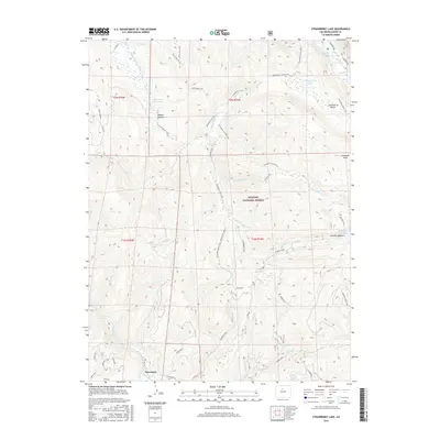
2016 Map of Strawberry Lake
USGS Topo · Published 2016About this map
Tabernash sits at the southwestern edge of a high-altitude landscape defined by complex water management systems and high peaks. The terrain is crisscrossed by a network of historic irrigation and transport features, including the Strawberry Ditch, Meadow Cr Ditch, and a significant Aqueduct. These systems funnel water from the high-country basins around Strawberry Lake and Meadow Cr Reservoir toward the valleys below.
Find a feature on this map
51 named features on this map. Tap any name to fly to it.
Don’t see what you’re looking for? This feature index may not catch every label — zoom into the map to look around manually.
Map Details
Editions of this 2016 Strawberry Lake Map
This is the sole edition of this map. No revisions or reprints were ever made.
Other maps of this area

1905 · Central City
USGS Topo · 1:62,500

1910 · Central City
USGS Topo · 1:62,500

1912 · Central City
USGS Topo · 1:62,500

1915 · Longs Peak
USGS Topo · 1:125,000

1919 · Rocky Mountain National Park
USGS Topo · 1:125,000

1924 · Fraser
USGS Topo · 1:62,500

1926 · Fraser
USGS Topo · 1:62,500

1953 · Denver
USGS Topo · 1:250,000

1954 · Greeley
USGS Topo · 1:250,000

1957 · Denver
USGS Topo · 1:250,000