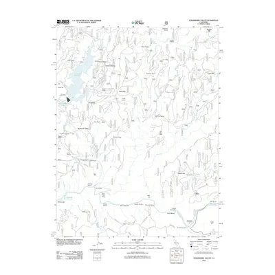
2012 Map of Strawberry Valley
USGS Topo · Published 2012About this map
The N Yuba River and its labyrinthine drainage system define this portion of the Sierra Nevada, where mid-century water management projects like Sly Creek Reservoir and New Bullards Bar Reservoir have altered the landscape. Historically significant settlements such as Strawberry Valley and Brandy City are documented alongside numerous smaller locales including Eagleville and North Star. The map preserves the nomenclature of the region's mining and ranching heritage, seen in labels for Rose Ranch, Poverty Hill, and the Strawberry Valley Cem. A complex network of ravines and bars, such as Cut Eye Fosters Bar and Slate Range Bar, indicates the deep human and geological history of the river canyons. This 2012 edition provides an exacting look at the forest service roads and trails that weave through the ridges, including the Grizzly Trl and Huron Trl.
Find a feature on this map
106 named features on this map. Tap any name to fly to it.
Don’t see what you’re looking for? This feature index may not catch every label — zoom into the map to look around manually.
Map Details
Editions of this 2012 Strawberry Valley Map
This is the sole edition of this map. No revisions or reprints were ever made.
Other maps of this area

1888 · Smartsville
USGS Topo · 1:125,000

1888 · Bidwell Bar
USGS Topo · 1:125,000

1891 · Bidwell Bar
USGS Topo · 1:125,000

1891 · Downieville
USGS Topo · 1:125,000

1891 · Colfax
USGS Topo · 1:125,000

1891 · Smartsville
USGS Topo · 1:125,000

1892 · Smartsville
USGS Topo · 1:125,000

1892 · Colfax
USGS Topo · 1:125,000

1893 · Bidwell Bar
USGS Topo · 1:125,000

1893 · Downieville
USGS Topo · 1:125,000