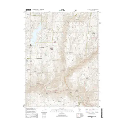
2015 Map of Strawberry Valley
USGS Topo · Published 2015About this map
Strawberry Valley sits at the junction of Butte and Yuba counties, serving as a focal point in a landscape defined by the deep ravines and high ridges of the Plumas National Forest. The local history of the region is anchored by the Strawberry Valley Cemetery and dispersed settlements like Eagleville and the mining-era site of Brandy City. The terrain is shaped by the North Fork Yuba River and its numerous tributaries, including Strawberry Creek and Jackass Cr. Notable industrial and geographic landmarks such as Race Track Point, Wambo Bar, and Poverty Hill reflect the rugged character of this gold-bearing country. Modern water management is evident in the presence of the Sly Creek Reservoir and the northern reaches of the New Bullards Bar Reservoir, which have altered the original drainage patterns of Lost Cr and Slate Cr.
Find a feature on this map
92 named features on this map. Tap any name to fly to it.
Don’t see what you’re looking for? This feature index may not catch every label — zoom into the map to look around manually.
Map Details
Editions of this 2015 Strawberry Valley Map
This is the sole edition of this map. No revisions or reprints were ever made.
Other maps of this area

1888 · Smartsville
USGS Topo · 1:125,000

1888 · Bidwell Bar
USGS Topo · 1:125,000

1891 · Bidwell Bar
USGS Topo · 1:125,000

1891 · Downieville
USGS Topo · 1:125,000

1891 · Colfax
USGS Topo · 1:125,000

1891 · Smartsville
USGS Topo · 1:125,000

1892 · Smartsville
USGS Topo · 1:125,000

1892 · Colfax
USGS Topo · 1:125,000

1893 · Bidwell Bar
USGS Topo · 1:125,000

1893 · Downieville
USGS Topo · 1:125,000