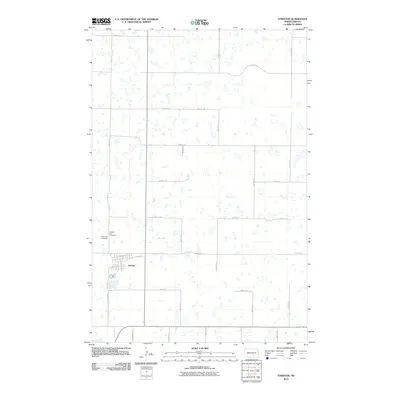
2011 Map of Streeter
USGS Topo · Published 2011About this map
Streeter serves as the focal point of this Stutsman County landscape, situated amidst a dense network of small prairie potholes and wetlands typical of the Missouri Coteau region. The town is laid out on a grid including 1st Ave SW, 1st Ave NE, and Helen St S. Genealogists will find the Streeter City Cemetery and Saint Luke Cemetery located just west of the main residential area, providing valuable records for local family history research. The surrounding terrain is defined by a strictly organized section-line road system, with routes such as 52nd St SE and 52nd Ave SE crossing a landscape dotted with unnamed water bodies, reflecting the persistent hydrology of the North Dakota plains during the early twenty-first century.
Find a feature on this map
23 named features on this map. Tap any name to fly to it.
Don’t see what you’re looking for? This feature index may not catch every label — zoom into the map to look around manually.
Map Details
Editions of this 2011 Streeter Map
This is the sole edition of this map. No revisions or reprints were ever made.
Other maps of this area

1953 · Jamestown
USGS Topo · 1:250,000

1953 · Cleveland SW
USGS Topo · 1:24,000

1955 · Medina SW
USGS Topo · 1:24,000

1955 · Medina SE
USGS Topo · 1:24,000

1956 · Jamestown
USGS Topo · 1:250,000

1975 · Medina SW
USGS Topo · 1:24,000

1983 · Streeter SW
USGS Topo · 1:24,000

1983 · Streeter
USGS Topo · 1:24,000

1983 · Gackle North
USGS Topo · 1:24,000

1983 · Streeter NW
USGS Topo · 1:24,000