2020 Map of Streeter
USGS Topo · Published 2020About this map
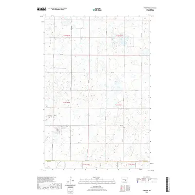
Streeter is the central hub of this Missouri Plateau landscape, located at the intersection of Co Hwy 37 and 53rd Ave SE. The town layout is defined by local streets including Florence St S and Helen St S, serving as a pocket of settlement within a region otherwise dominated by a complex network of wetlands and potholes. This topography is characteristic of the glaciated plains of North Dakota, where hundreds of small, unnamed water bodies dot the terrain across the boundaries of t137n r69w and t138n r69w. Genealogy resources are concentrated just northwest of the town center, where the Saint Luke's Lutheran Cem and Streeter City Cem are situated side-by-side. The southern edge of the survey tracks the political line between Stutsman Co and Logan Co, following the path of 54th St SE.
Find a feature on this map
32 named features on this map. Tap any name to fly to it.
Don’t see what you’re looking for? This feature index may not catch every label — zoom into the map to look around manually.
Map Details
Editions of this 2020 Streeter Map
This is the sole edition of this map. No revisions or reprints were ever made.
Other maps of this area

1953 · Jamestown
USGS Topo · 1:250,000

1953 · Cleveland SW
USGS Topo · 1:24,000

1955 · Medina SW
USGS Topo · 1:24,000

1955 · Medina SE
USGS Topo · 1:24,000

1956 · Jamestown
USGS Topo · 1:250,000

1975 · Medina SW
USGS Topo · 1:24,000

1983 · Streeter SW
USGS Topo · 1:24,000

1983 · Streeter
USGS Topo · 1:24,000

1983 · Gackle North
USGS Topo · 1:24,000

1983 · Streeter NW
USGS Topo · 1:24,000