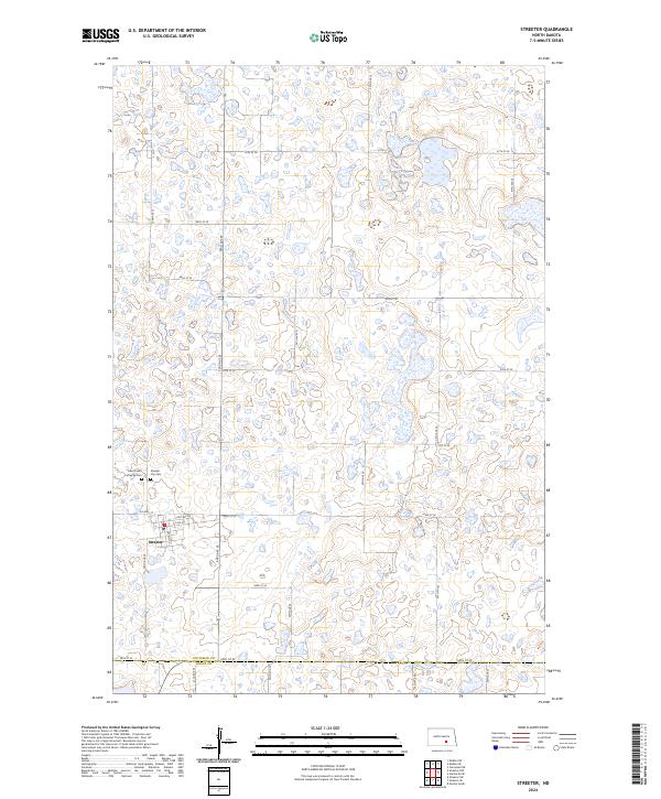
2024 Map of Streeter
USGS Topo · Published 2024About this map
Streeter serves as the primary hub of this landscape, situated near the intersection of Co Hwy 37 and several local avenues. The area is defined by a dense concentration of wetlands and small water bodies characteristic of the Missouri Coteau region. These natural features are preserved in part by the Stutsman County Waterfowl Production Area, which spans several sections in the central part of the quadrangle. For those researching local history, the map identifies key community landmarks such as the Saint Luke's Lutheran Cem and the Streeter City Cem located just west of the town center. The presence of a Po in town marks it as a central gathering point for the surrounding rural sections. The township and range lines, including t137n r69w and t138n r68w, provide a clear grid for tracing land ownership and family records across the Stutsman and Logan County line.
Find a feature on this map
30 named features on this map. Tap any name to fly to it.
Don’t see what you’re looking for? This feature index may not catch every label — zoom into the map to look around manually.
Map Details
Editions of this 2024 Streeter Map
This is the sole edition of this map. No revisions or reprints were ever made.
Other maps of this area

1953 · Jamestown
USGS Topo · 1:250,000

1953 · Cleveland SW
USGS Topo · 1:24,000

1955 · Medina SW
USGS Topo · 1:24,000

1955 · Medina SE
USGS Topo · 1:24,000

1956 · Jamestown
USGS Topo · 1:250,000

1975 · Medina SW
USGS Topo · 1:24,000

1983 · Streeter SW
USGS Topo · 1:24,000

1983 · Streeter
USGS Topo · 1:24,000

1983 · Gackle North
USGS Topo · 1:24,000

1983 · Streeter NW
USGS Topo · 1:24,000