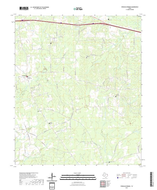
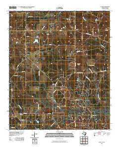
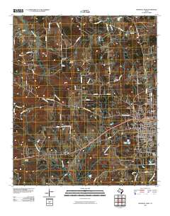
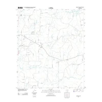
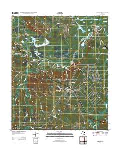
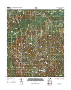
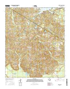
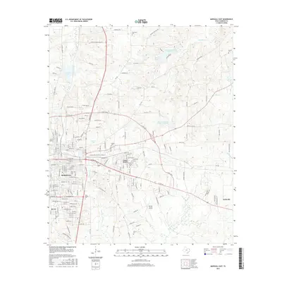
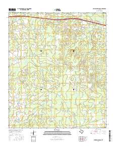
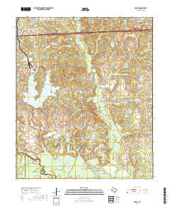
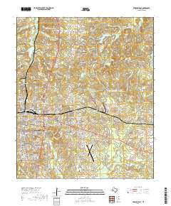
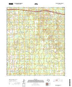
2022 Map of Stricklin Springs
USGS Topo · Published 2022About this map
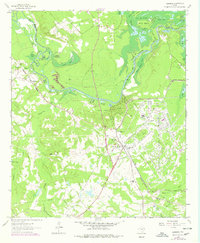
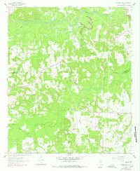
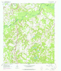
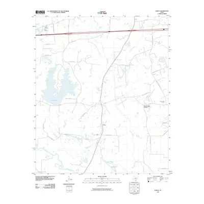
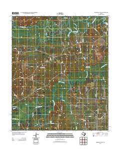
Crossroads serves as a focal point for this rural Harrison County landscape, where the local road network branches out into the piney woods and creek bottoms of East Texas. The area is defined by its deep genealogical roots, evidenced by numerous family and community burial grounds such as Strickland Springs Cem, Granbury Cem, and McKay Cem. These sites, often situated on higher ground or near historical crossroads, provide a mapping of early settlement patterns and family lineages across the territory.
Find a feature on this map
64 named features on this map. Tap any name to fly to it.
Don’t see what you’re looking for? This feature index may not catch every label — zoom into the map to look around manually.
Map Details
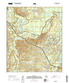
Editions of this 2022 Stricklin Springs Map
This is the sole edition of this map. No revisions or reprints were ever made.
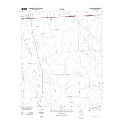
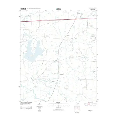
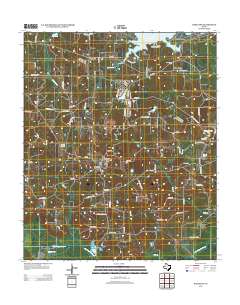
Historical Maps of Crossroads Through Time
81 maps found

1944 Caddo Lake
Harrison County, TX

1946 Caddo Lake
Harrison County, TX
1958 Darco
Harrison County, TX
1961 Harleton
Harrison County, TX
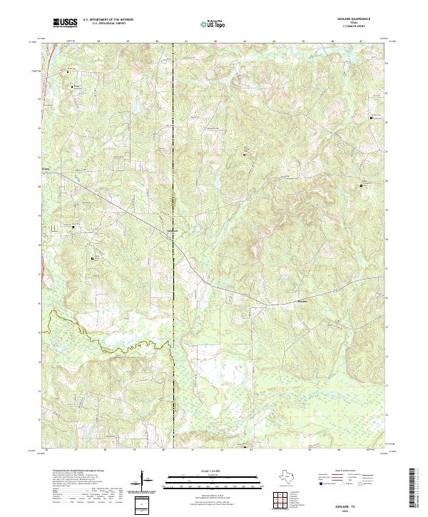
1962 Ashland
Harrison County, TX
1962 Karnack
Harrison County, TX
1962 Latex
Harrison County, TX
1962 Longview Heights
Harrison County, TX
1962 Marshall East
Harrison County, TX
1962 Marshall NW
Harrison County, TX
1962 Marshall West
Harrison County, TX
1962 Potters Point
Harrison County, TX
1962 Stricklin Springs
Harrison County, TX
1962 Woodlawn
Harrison County, TX
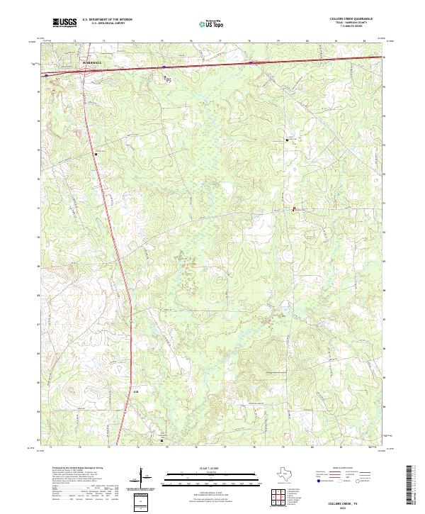
1983 Colliers Creek
Harrison County, TX
1983 Darco
Harrison County, TX
2010 Ashland
Harrison County, TX
2010 Colliers Creek
Harrison County, TX
2010 Darco
Harrison County, TX
2010 Harleton
Harrison County, TX
2010 Karnack
Harrison County, TX
2010 Latex
Harrison County, TX
2010 Longview Heights
Harrison County, TX
2010 Marshall East
Harrison County, TX
2010 Marshall NW
Harrison County, TX
2010 Marshall West
Harrison County, TX
2010 Potters Point
Harrison County, TX
2010 Stricklin Springs
Harrison County, TX
2010 Woodlawn
Harrison County, TX
2013 Ashland
Harrison County, TX
2013 Colliers Creek
Harrison County, TX
2013 Darco
Harrison County, TX
2013 Harleton
Harrison County, TX
2013 Karnack
Harrison County, TX
2013 Latex
Harrison County, TX
2013 Longview Heights
Harrison County, TX
2013 Marshall East
Harrison County, TX
2013 Marshall NW
Harrison County, TX
2013 Marshall West
Harrison County, TX
2013 Potters Point
Harrison County, TX
2013 Stricklin Springs
Harrison County, TX
2013 Woodlawn
Harrison County, TX
2016 Ashland
Harrison County, TX
2016 Colliers Creek
Harrison County, TX
2016 Darco
Harrison County, TX
2016 Harleton
Harrison County, TX
2016 Karnack
Harrison County, TX
2016 Latex
Harrison County, TX
2016 Longview Heights
Harrison County, TX
2016 Marshall East
Harrison County, TX
2016 Marshall NW
Harrison County, TX
2016 Marshall West
Harrison County, TX
2016 Potters Point
Harrison County, TX
2016 Stricklin Springs
Harrison County, TX
2016 Woodlawn
Harrison County, TX
2019 Ashland
Harrison County, TX
2019 Colliers Creek
Harrison County, TX
2019 Darco
Harrison County, TX

2019 Harleton
Harrison County, TX
2019 Karnack
Harrison County, TX
2019 Latex
Harrison County, TX
2019 Longview Heights
Harrison County, TX
2019 Marshall East
Harrison County, TX
2019 Marshall NW
Harrison County, TX
2019 Marshall West
Harrison County, TX
2019 Potters Point
Harrison County, TX
2019 Stricklin Springs
Harrison County, TX
2019 Woodlawn
Harrison County, TX
2022 Ashland
Harrison County, TX
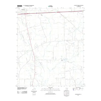
2022 Colliers Creek
Harrison County, TX
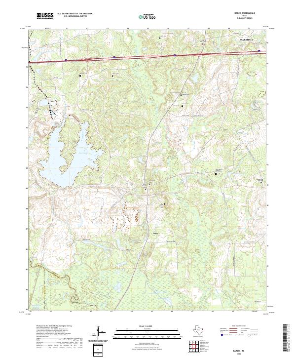
2022 Darco
Harrison County, TX
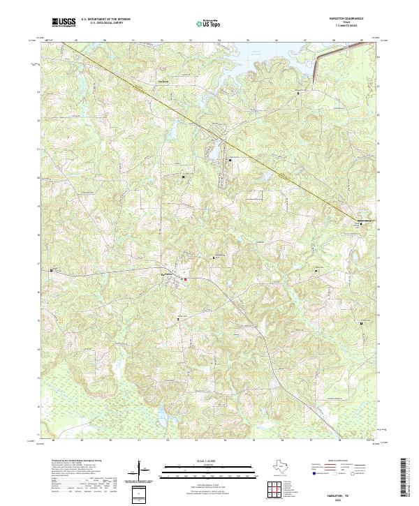
2022 Harleton
Harrison County, TX
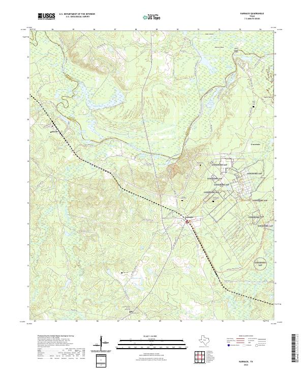
2022 Karnack
Harrison County, TX
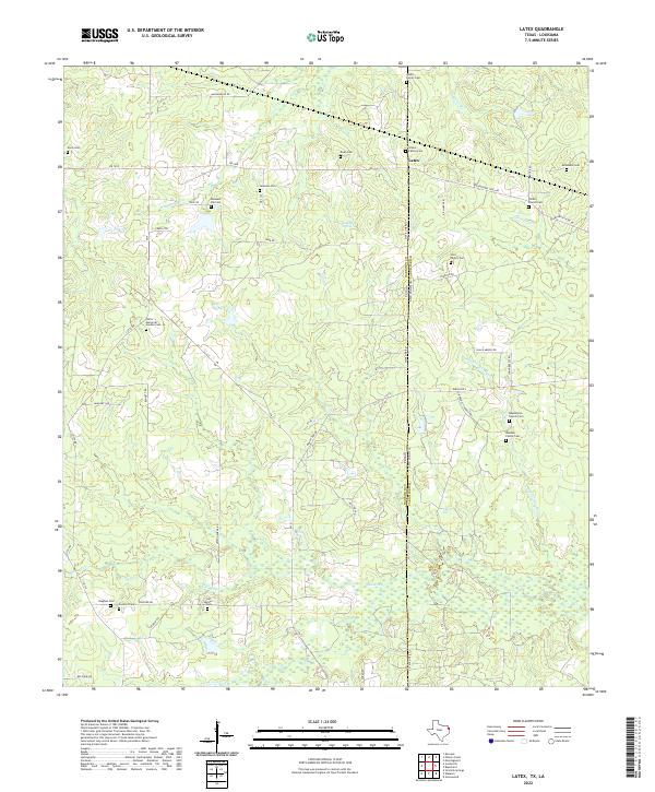
2022 Latex
Harrison County, TX
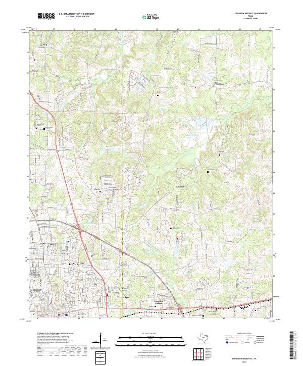
2022 Longview Heights
Harrison County, TX
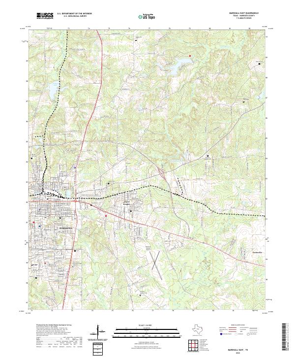
2022 Marshall East
Harrison County, TX
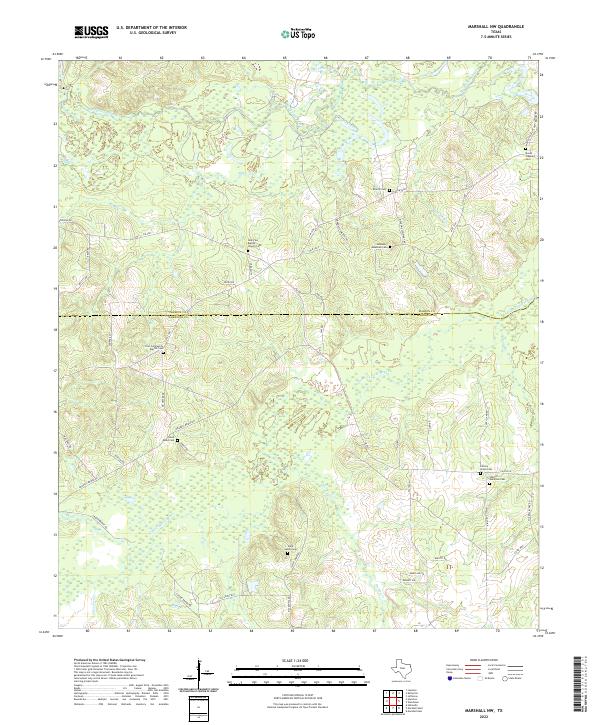
2022 Marshall NW
Harrison County, TX
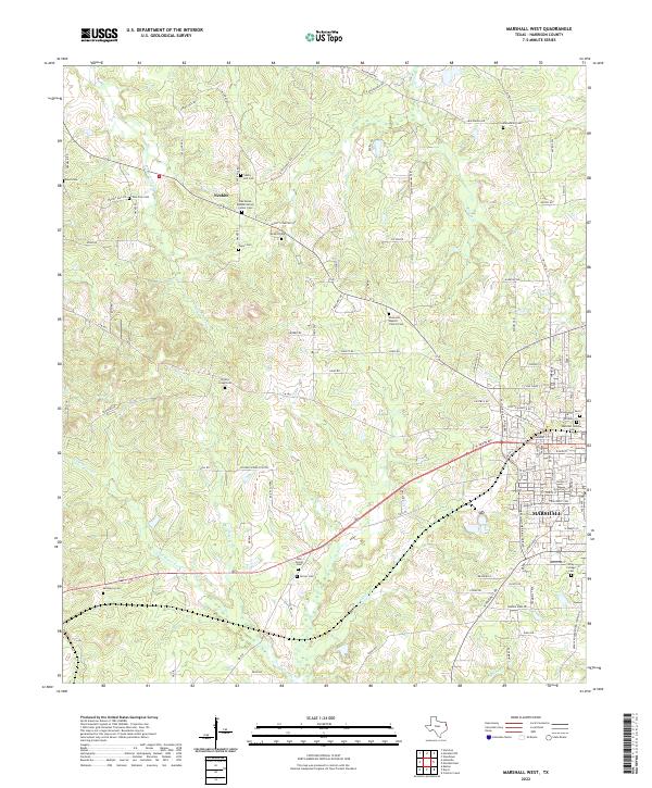
2022 Marshall West
Harrison County, TX
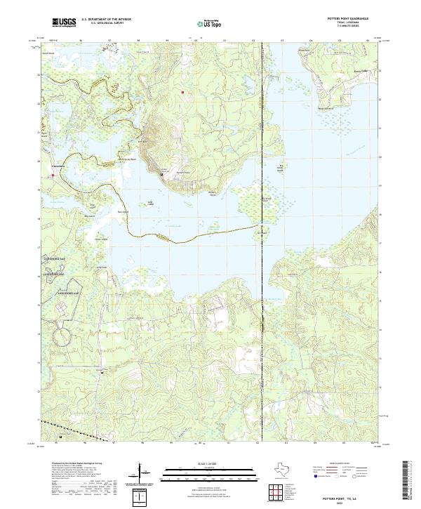
2022 Potters Point
Harrison County, TX
2022 Stricklin Springs
Harrison County, TX
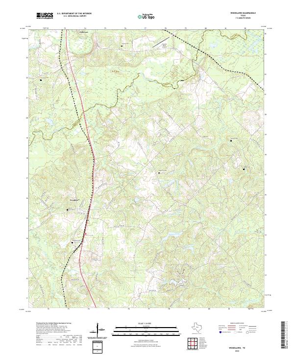
2022 Woodlawn
Harrison County, TX